Bittern Meadow - Sold

Details for this wood
Guide price: £75,000 - Freehold
Size: About 4 acres
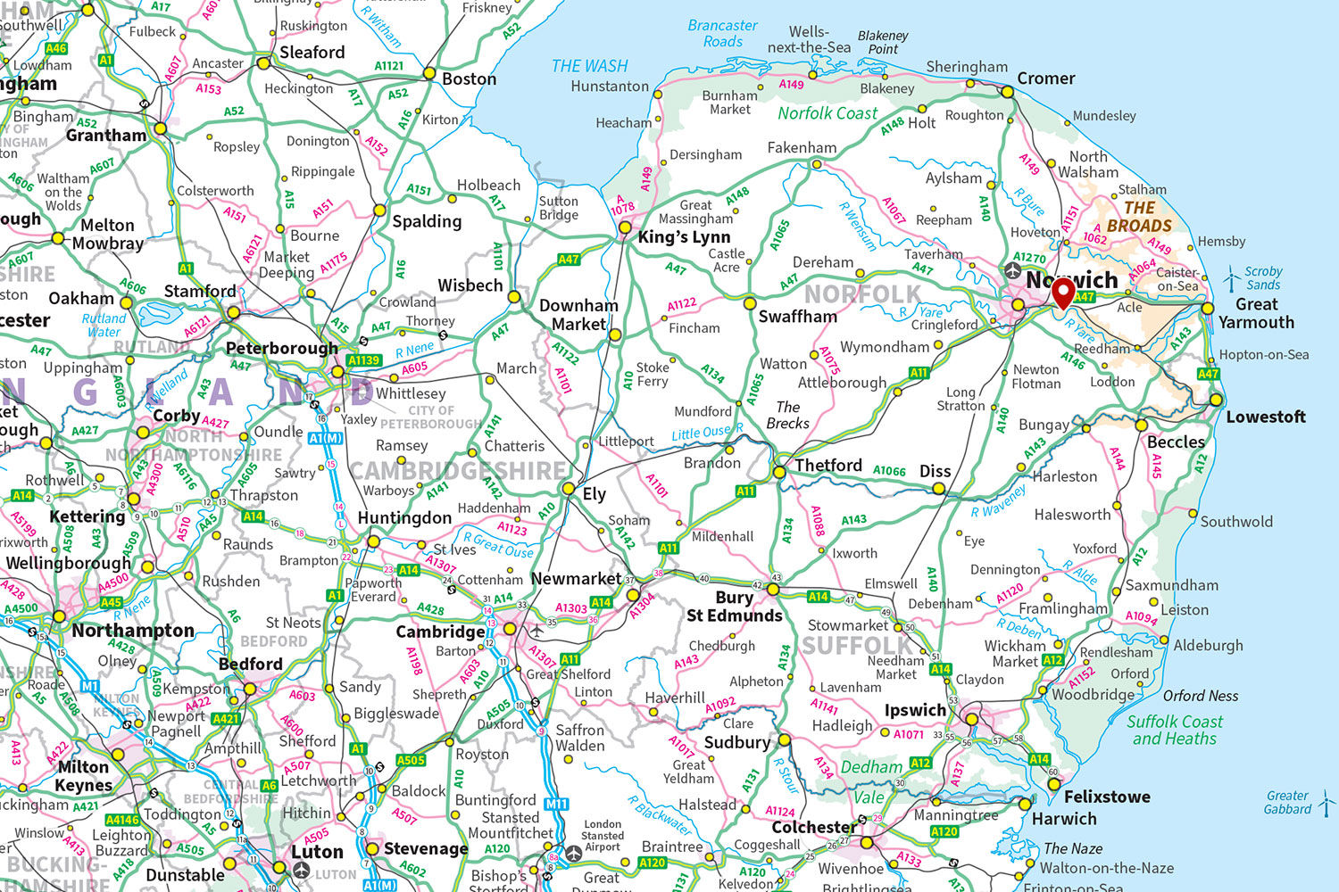
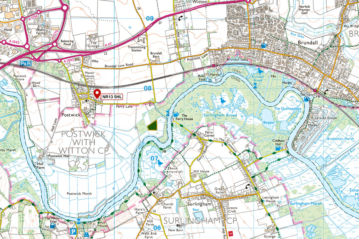
Location: Postwick, Norwich
OS Landranger: No 134
Grid ref: TG 30550 07465
Nearest post code: NR13 5HL
Contact: Ben Williamson
Phone: 07958 213 914
Email: [email protected]
Email to a friend
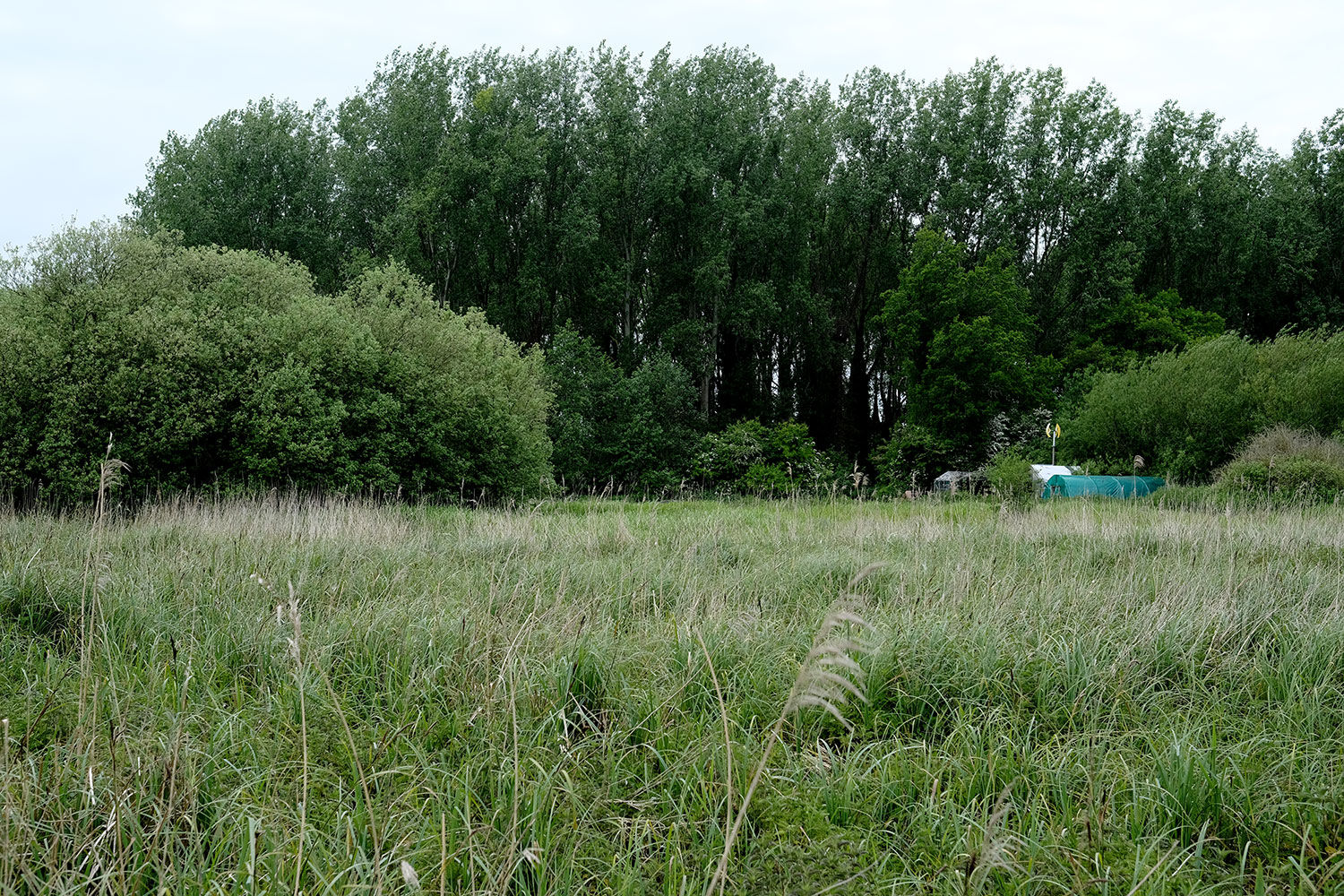
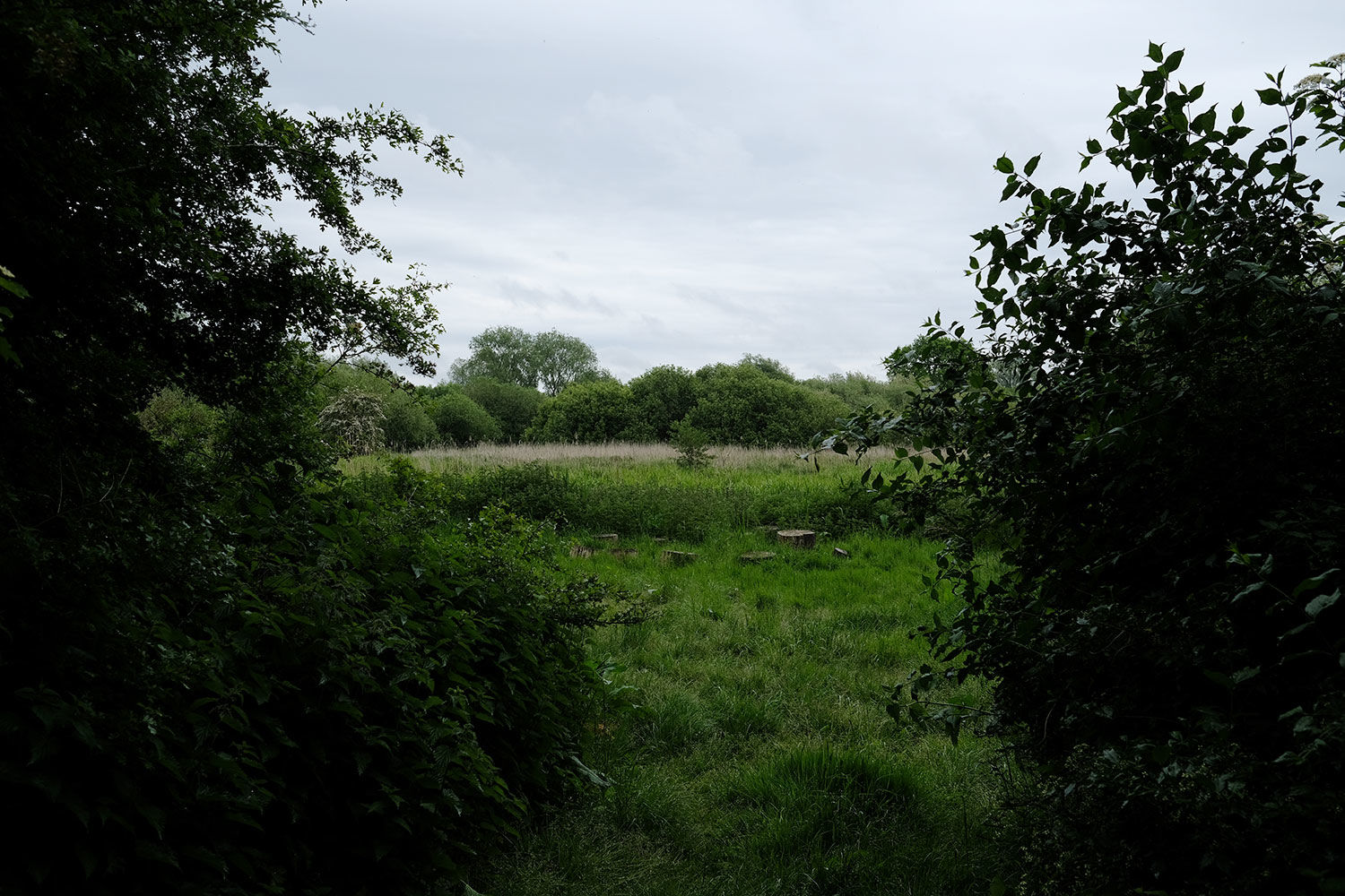
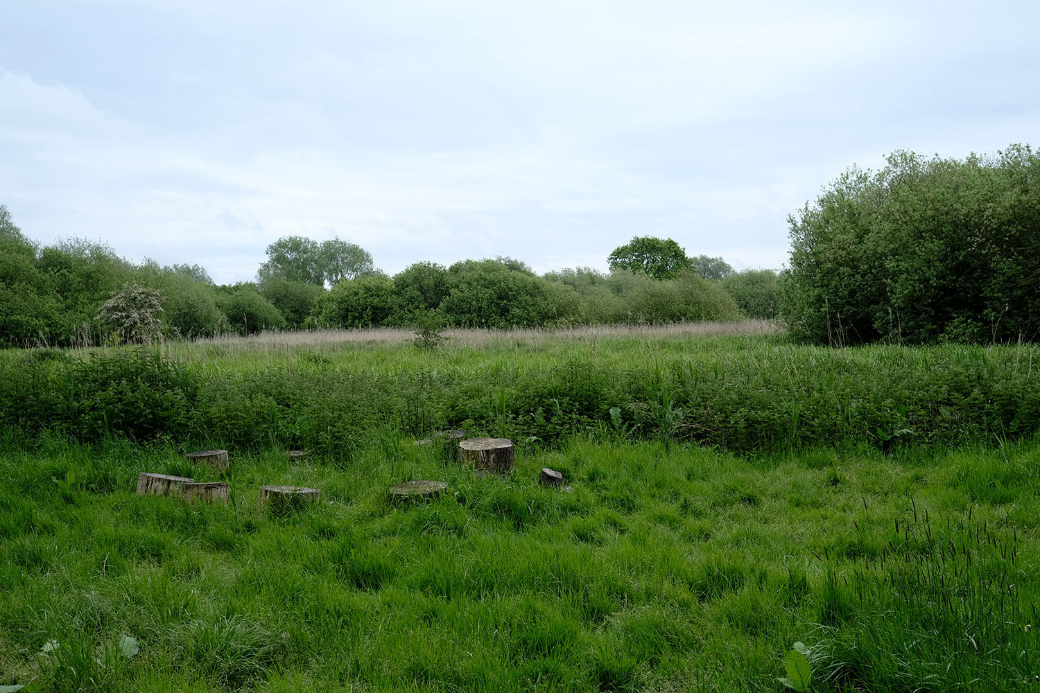
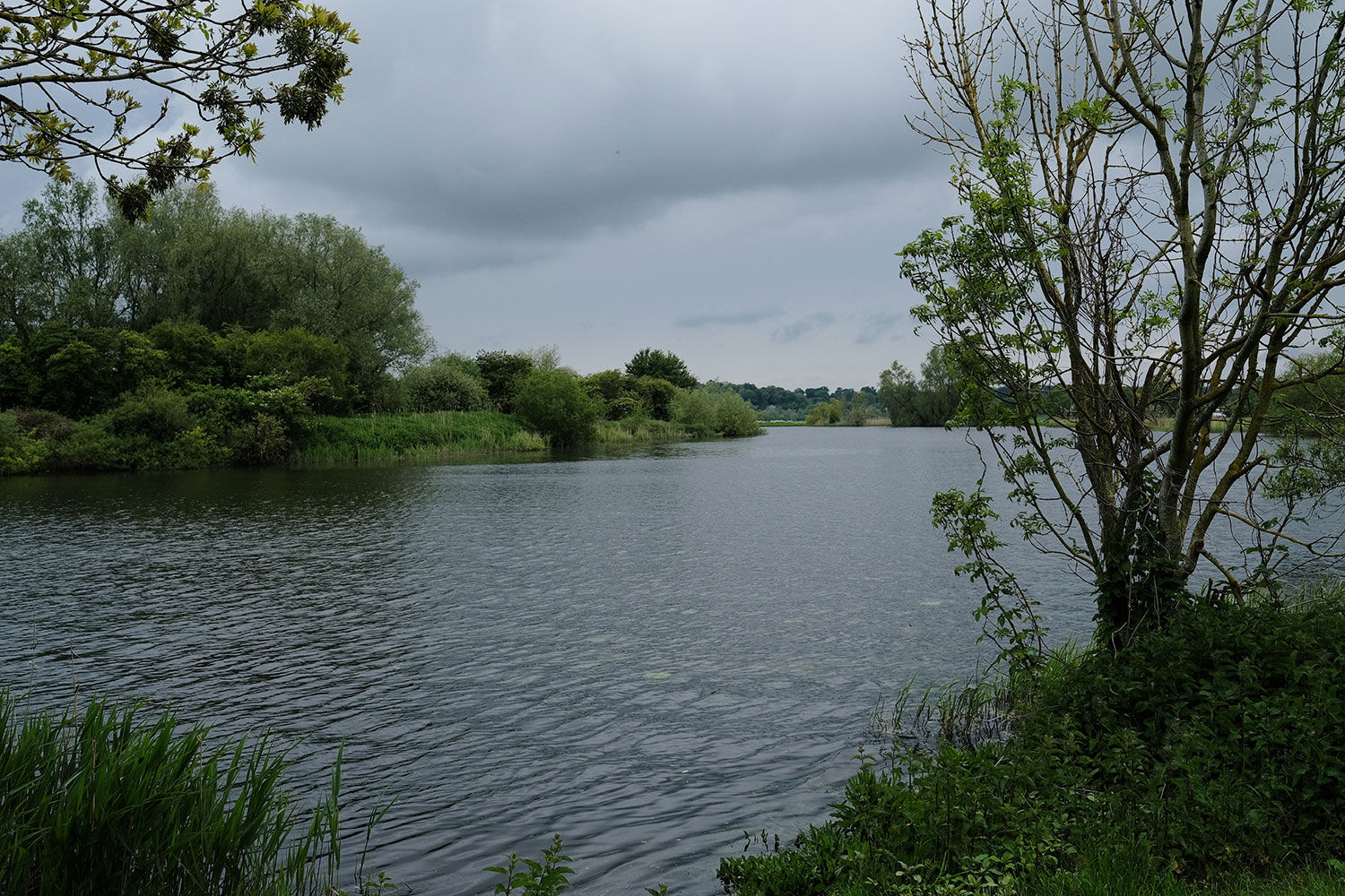
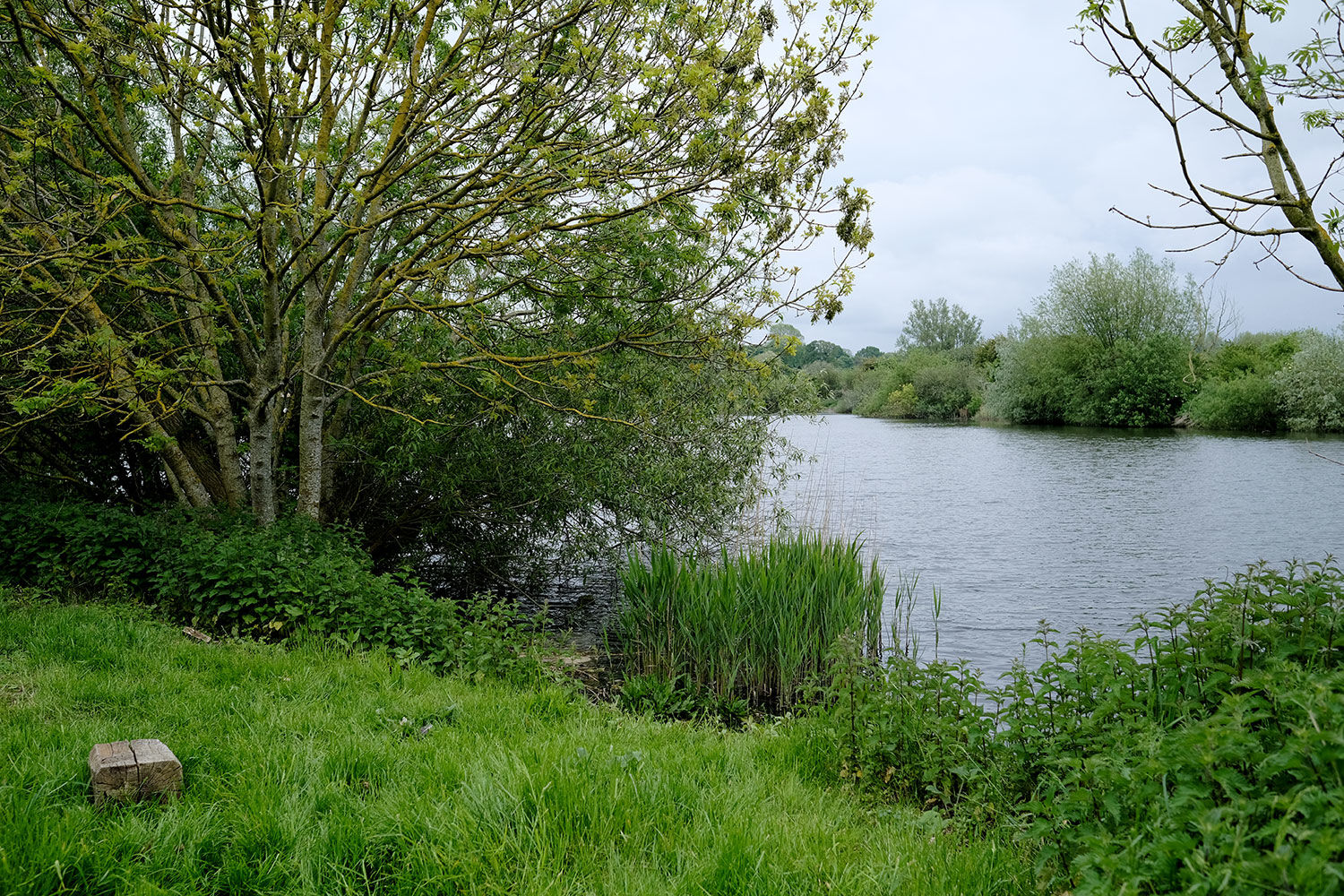
Bittern Meadow is a private, secluded water meadow located just metres from the River Yare within the Norfolk Broads.
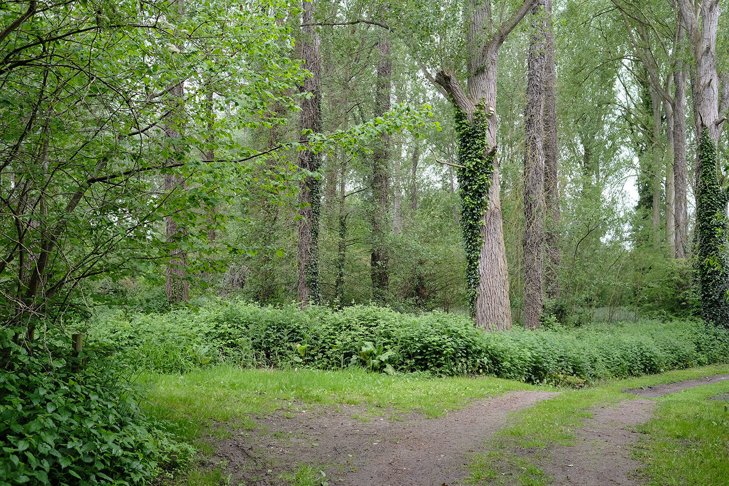
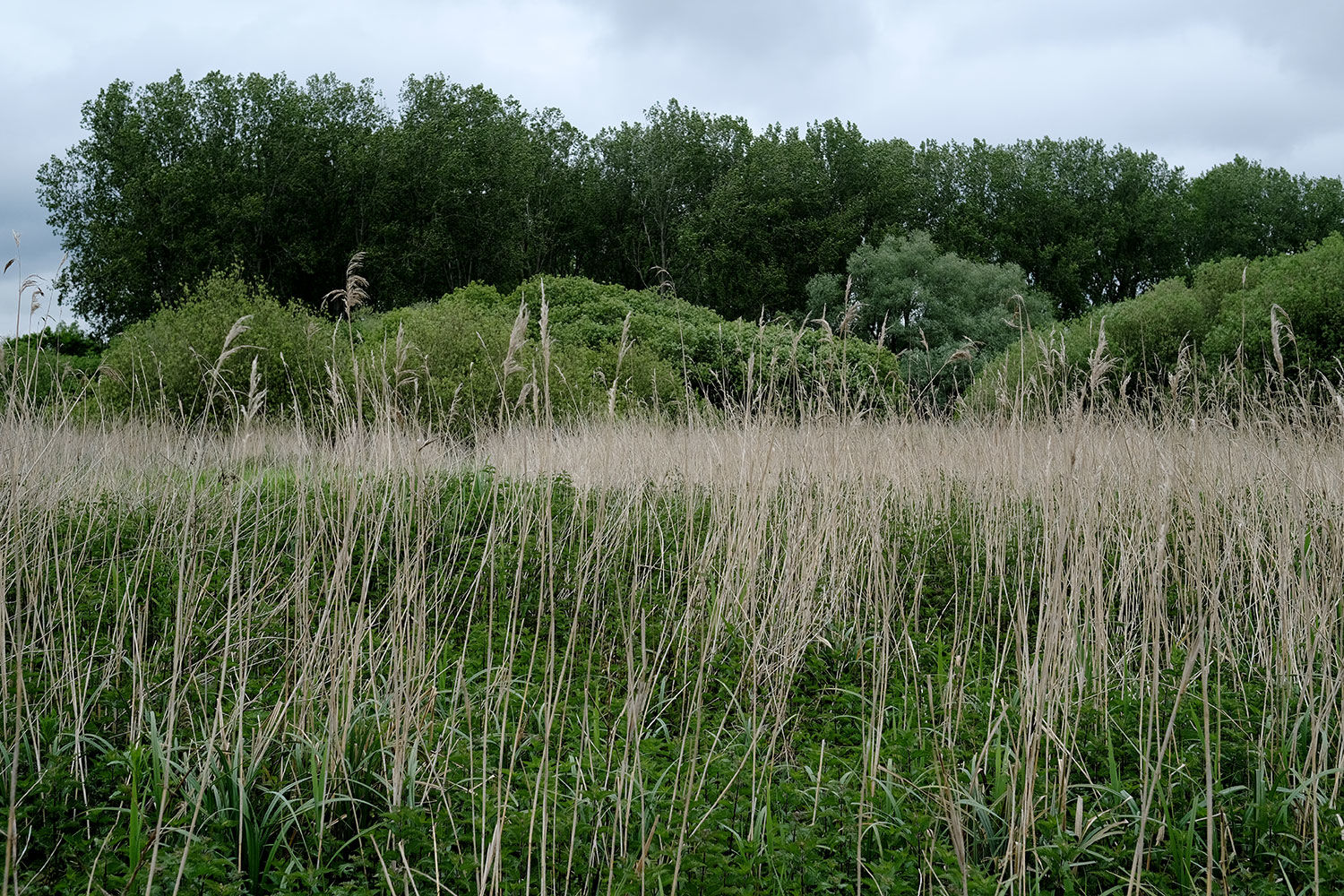
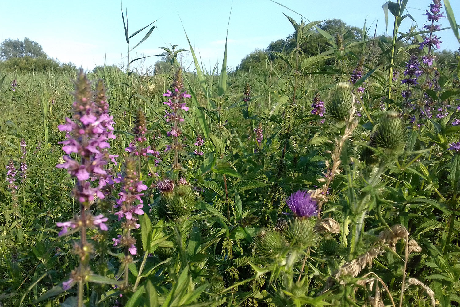
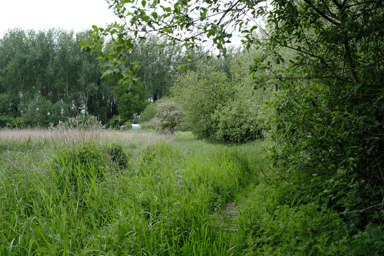
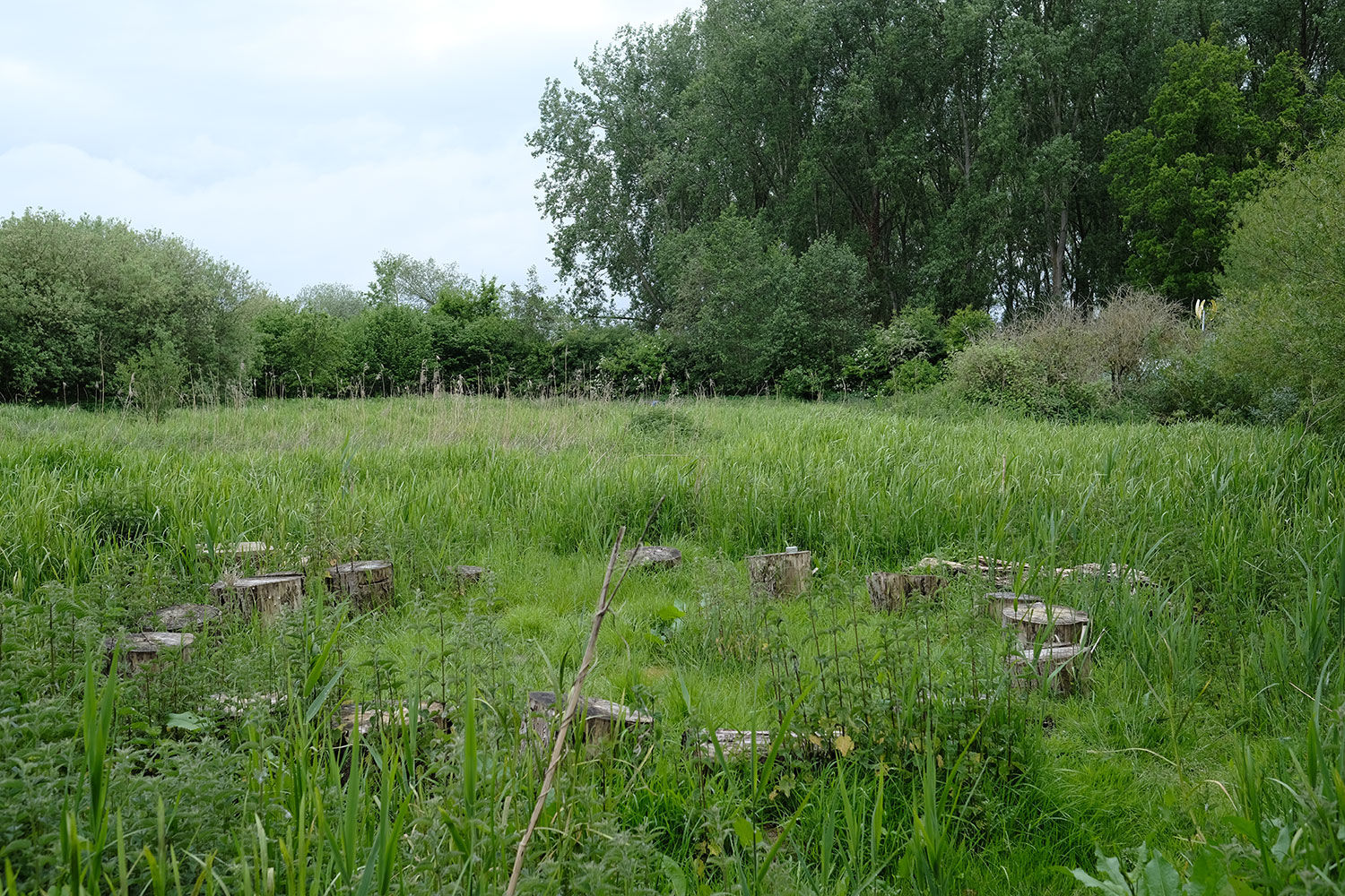
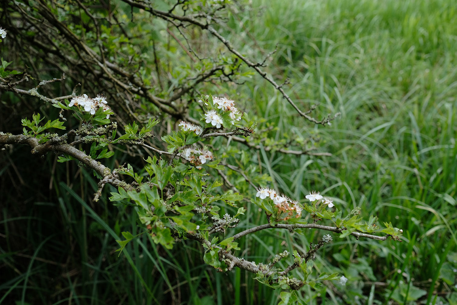
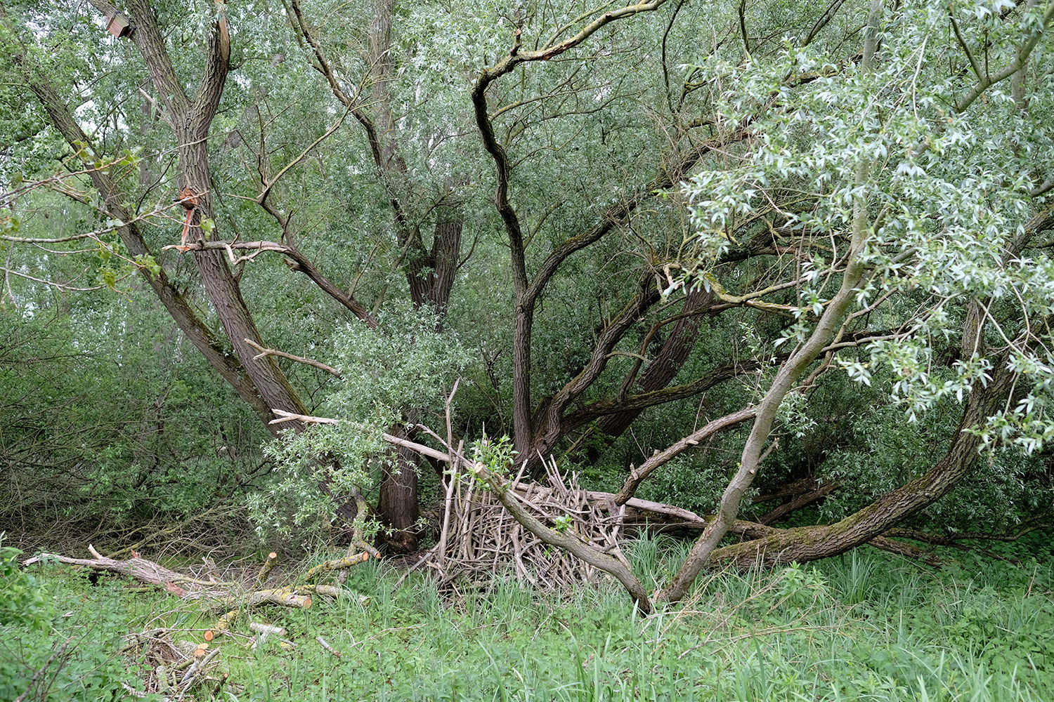
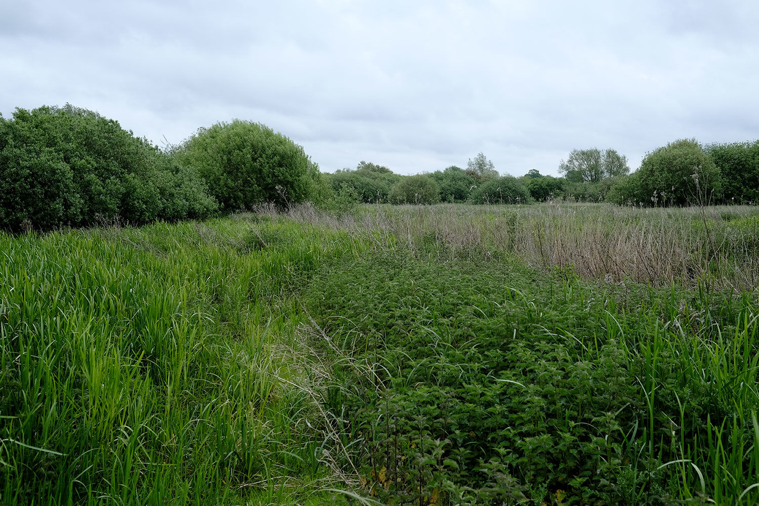
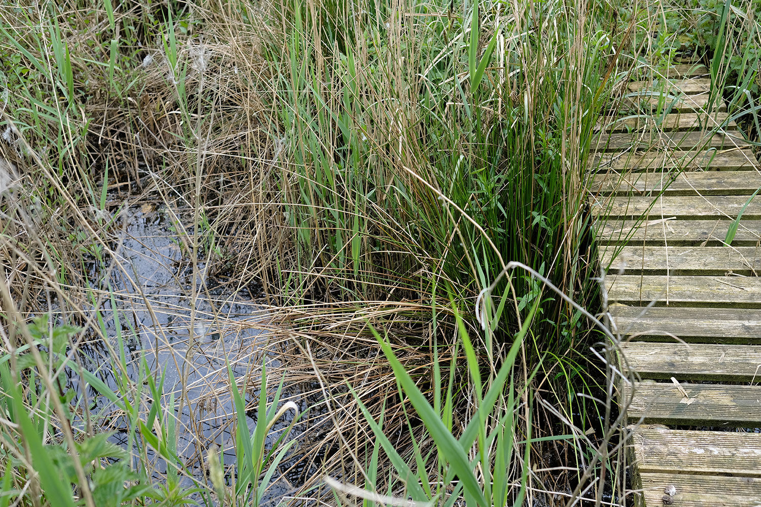
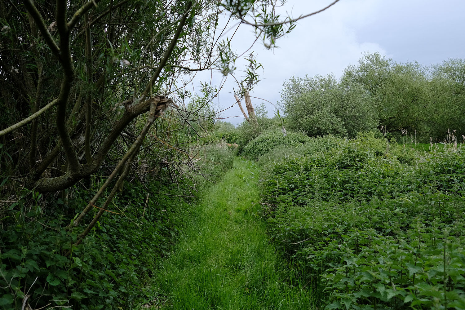
Willow trees dominate the perimeter and central areas, while clusters of guelder-rose, oak, hawthorn, hazel, and black alder are found on the western edge. The lower levels are covered with grasses, reeds, hemp agrimony, marsh woundwort, yellow flag, and thistle.
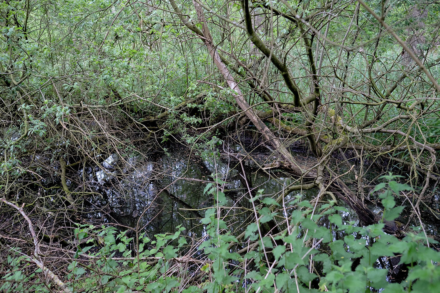
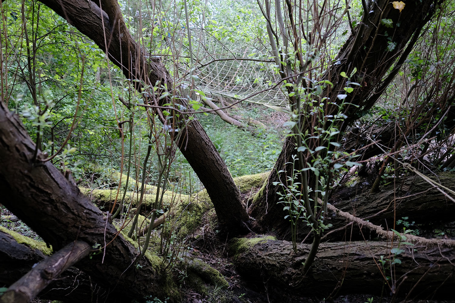
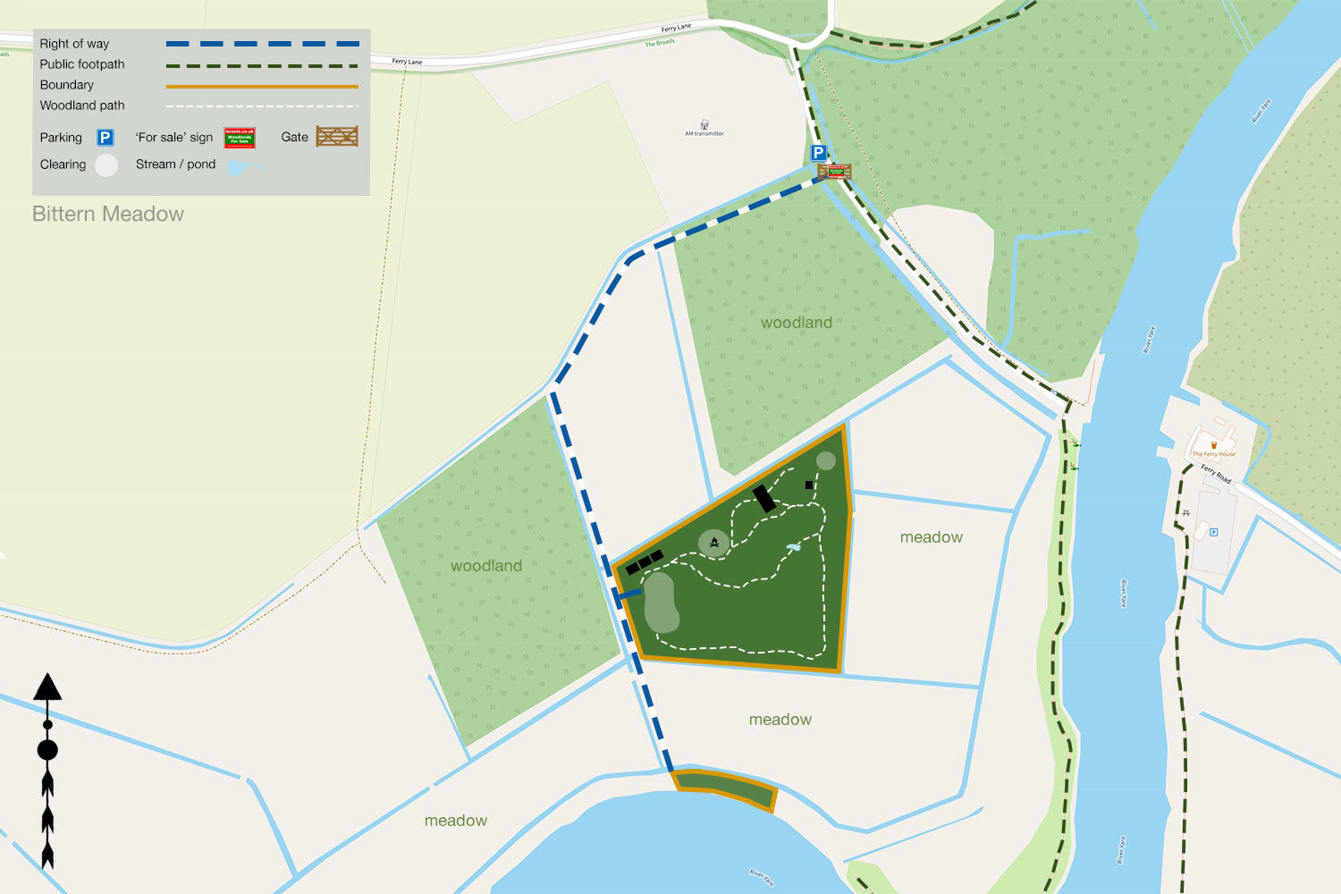
Dykes surround the meadow, providing excellent drainage and attracting diverse wildlife, from flocks of wildfowl to Chinese water deer. A small pond is situated to the east.
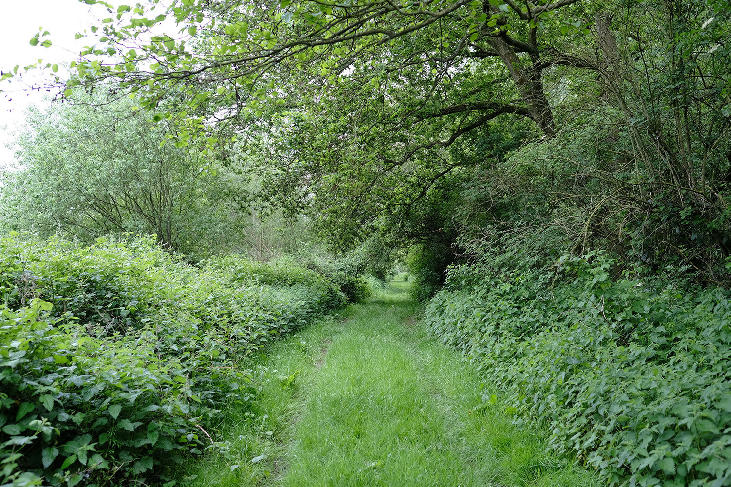
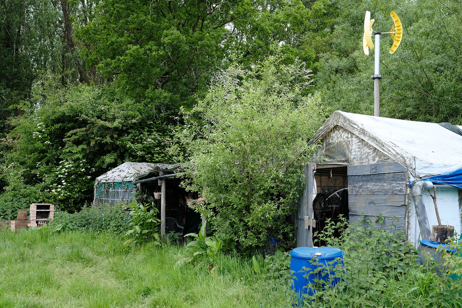
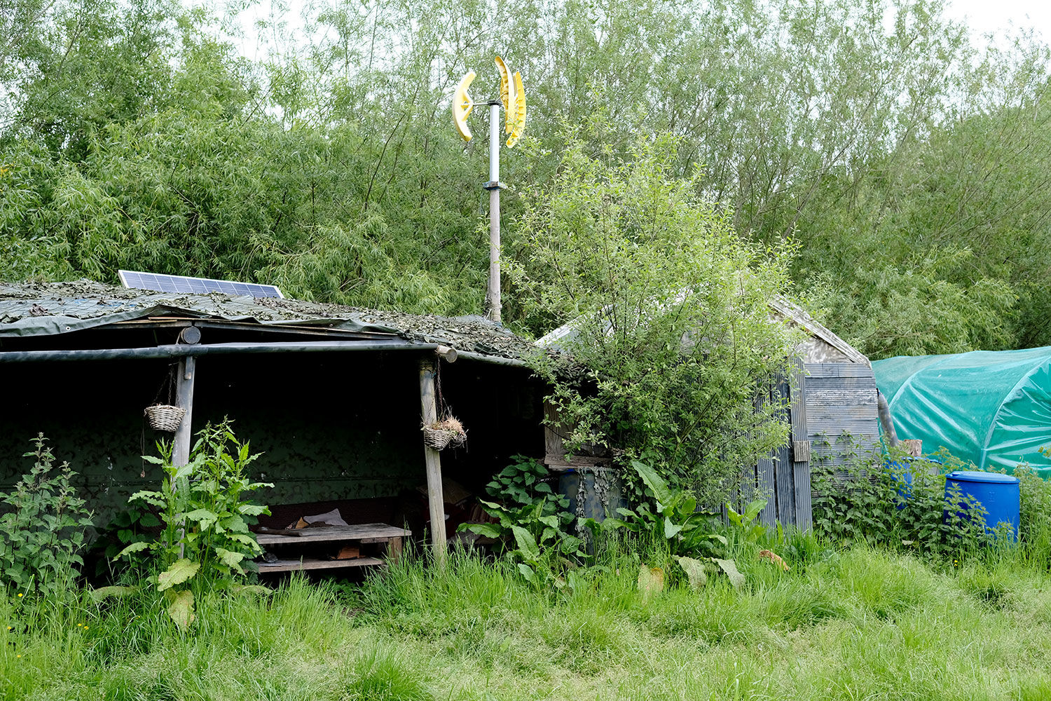
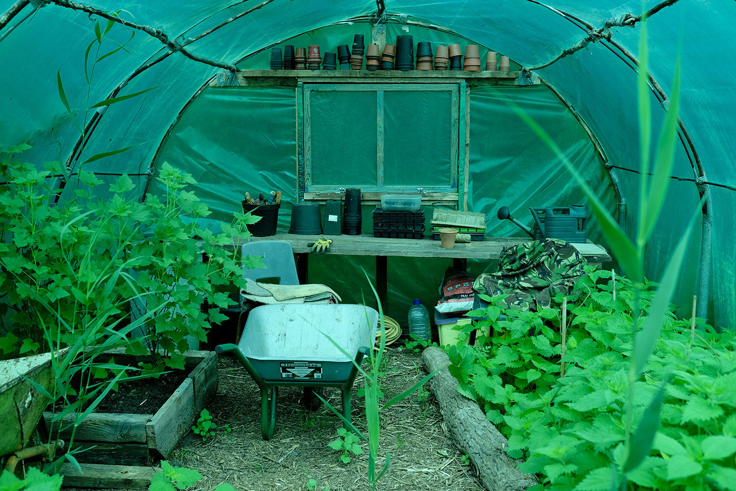
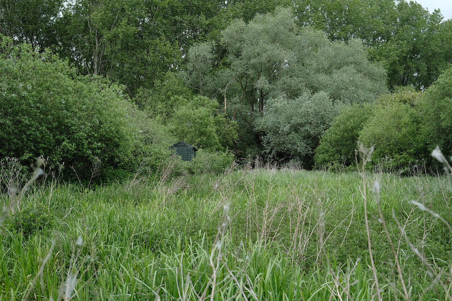
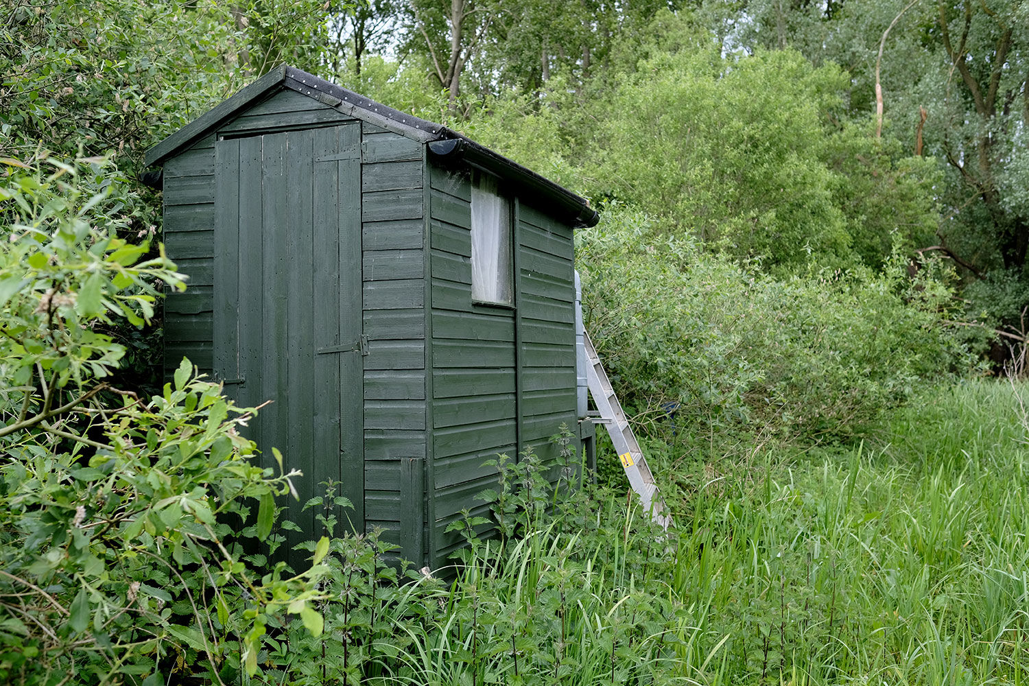
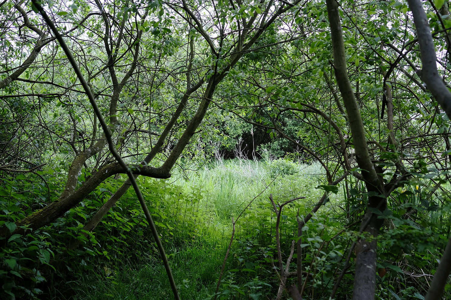
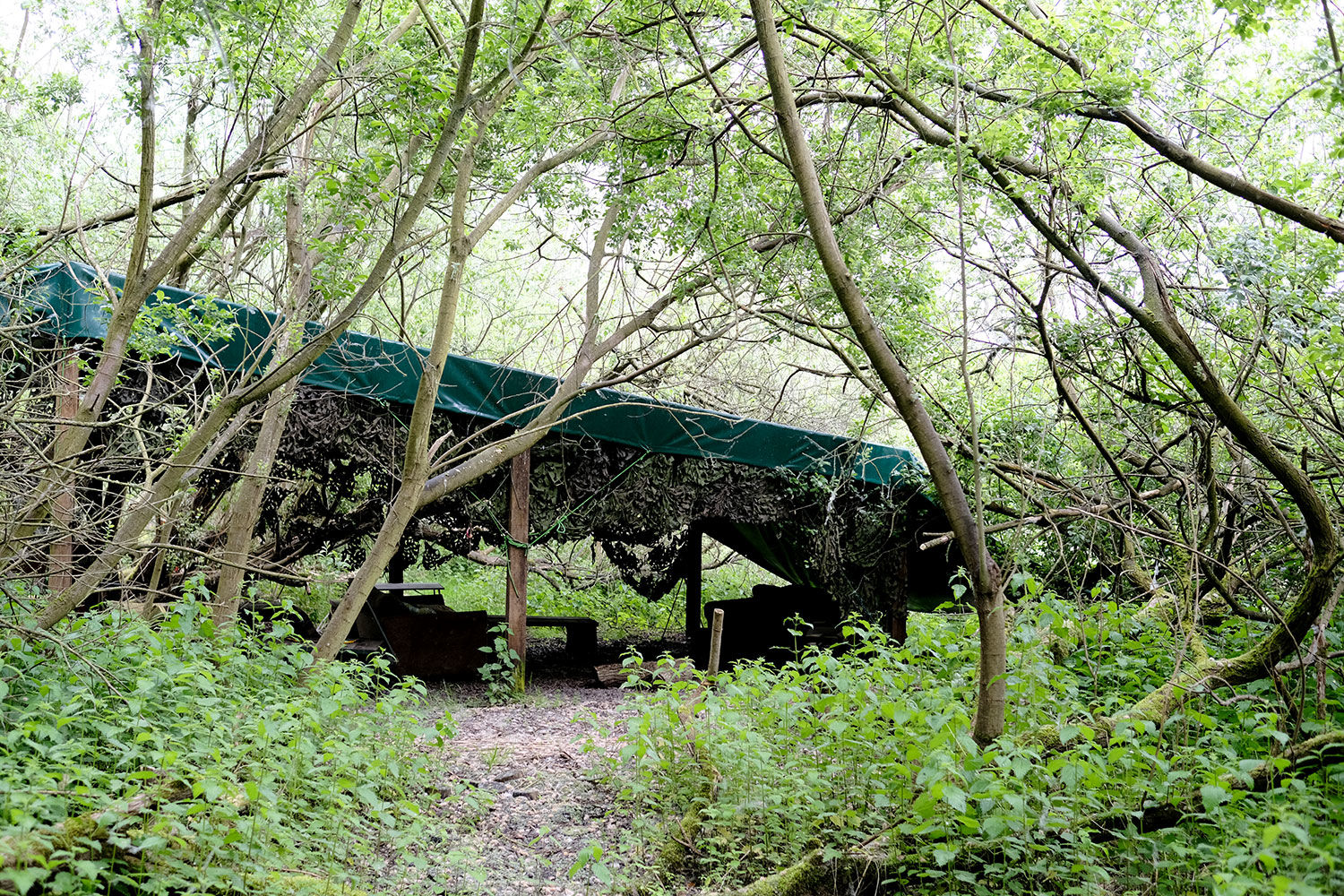
The current owner has maintained well-defined pathways that lead through the meadow, highlighting various points of interest. Included in the sale are a caravan, a central camp shelter, storage sheds, a polytunnel, and a compost loo. The meadow is flat, featuring large grassy areas perfect for summer camping.
An access track leads from the meadow down to the river, where the owner has access to a shared private riverbank for boating and fishing.
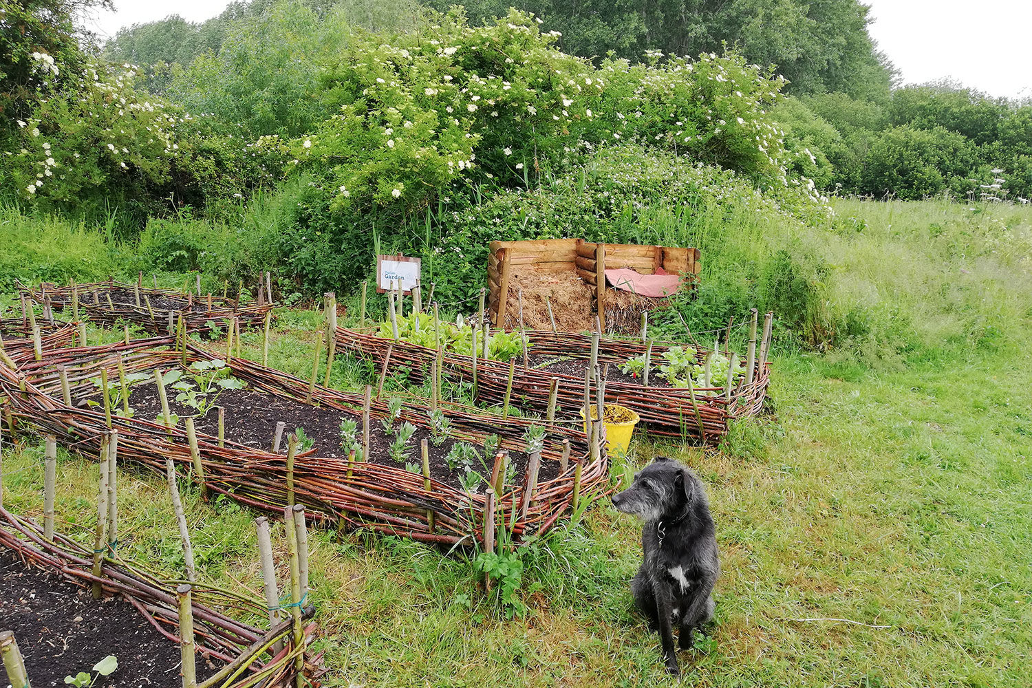
Also to note, The Broads Authority granted permission for a community wellness facility connected to the current owner's small community interest company, Bittern Meadow CIC and includes the right to the use of the land for 40 days per year. Activities offered in the past include archery, bushcraft, canoeing, ecotherapy, conservation work, outdoor yoga, camps, and gardening courses. More details on the usage can be provided on request.
Locally, The Ferry House pub is a short paddle away, and the city of Norwich is just a few minutes drive.
Ward is Brundall and the county council is Norfolk
Boundaries: The boundary is the centre of the dykes that run around the meadow, north, east and south. The western boundary follows the access track. The boundary is also staked and marked with blue paint.
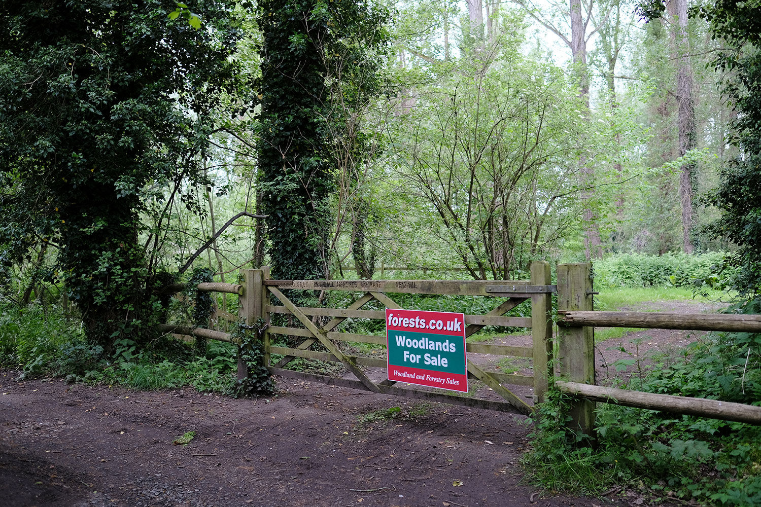
Access: Vehicle access is possible via a wide track and shared gate. Parking is possible within the meadow.
Click HERE to see free OS maps.
Covenant: There is a covenant on the wood designed to ensure the quiet and peaceful enjoyment of this and adjoining woodlands, click HERE to read and download.
Viewing: You are welcome to visit this wood by yourself, but please Click here to download the details showing the location of the woodland and ensure that you have a copy of these sales details with you. Many of our woodlands do not have mobile phone reception or internet access so we recommend either printing the details or downloading them to your phone or tablet. Please take care when viewing as the great outdoors can contain unexpected hazards and woodlands are no exception.
Maps: OS OpenData © Crown copyright and database rights 2024 & OpenStreetMap
Our Maps (Click on a map to see a large version)
Our Maps
Directions
Bittern Meadow, Ferry Lane, Postwick
1. Click here for Bing Maps Directions click on the "Directions" box and enter your own postcode.
- For viewing purposes, please park next to the main entrance as marked on the map.
- Pass by the gate to enter the woodland and follow the track marked blue on the map heading straight.
- After 230m turn left, after 130m the entrance to Bittern Meadow will be on your left.
2. For Satnav: the nearest postcode is NR13 5HL as shown by the marker on the maps. The main coordinates for access are: 52.618210, 1.405170. W3W ///grants.images.immediate
Please note: the particulars with plans, maps, descriptions and measurements are for reference only and although carefully checked we cannot guarantee their accuracy and do not form part of any contract. Any intending purchasers must satisfy themselves by inspection or otherwise as to the correctness of these particulars.