Mount Wood, Rusper, West Sussex - Sold
Details for this wood
Guide price: £112,000 - Freehold
Size: Almost 12 acres
Location: Rusper, near Crawley, West Sussex
OS Landranger: 187
Grid ref: TQ 228 383
Nearest post code: RH11 0LF
Contact: Ben Williamson
Phone: 07958 213 914
Email: [email protected]
Email to a friend
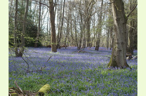
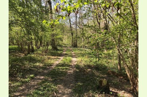
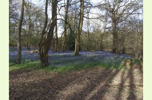
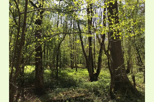
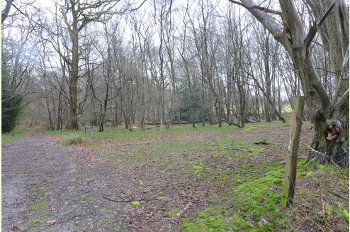
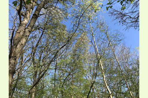
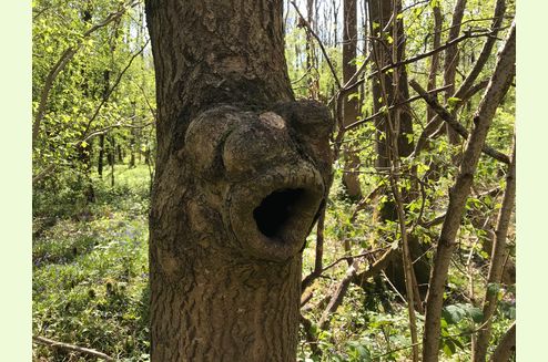
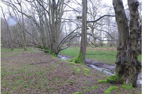
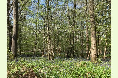
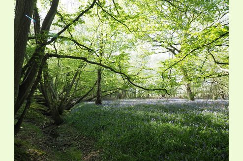
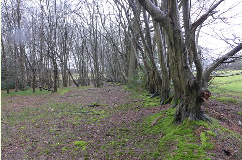
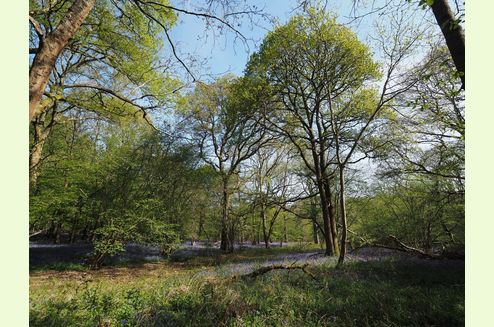
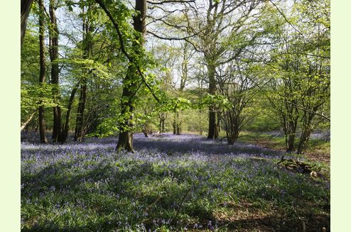
Typical picturesque Sussex High Weald woodland with long road frontage to a quiet country lane. The woodland structure consists of a scattering of older, larger oaks with a younger component of ash, oak, willow and a shrub layer including hazel, field maple and hawthorn. The mixture has probably evolved from a parkland structure of a previous age. The area to the west is more open with widely spaced oaks, splendidly mature hornbeam and grass covered glades. Maps from 1898 show part of the wood as open ground but the 1911 edition shows woodland emerging.
Situated on the southern edge of a substantial wooded landscape, mostly ancient woodland and almost all designated as Local Wildlife Site click to see the map and citation. This describes the wildlife found in this area and Mount Wood is very much part of that. The whole area, because of its landscape and ecological value is covered by a tree preservation order (TPO): this does not affect normal woodland or forestry management where there is a Forestry Commission approved management plan in place.
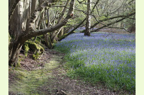
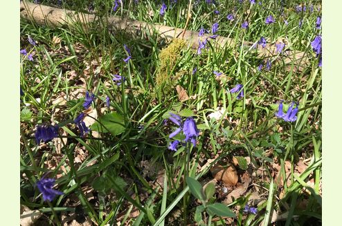
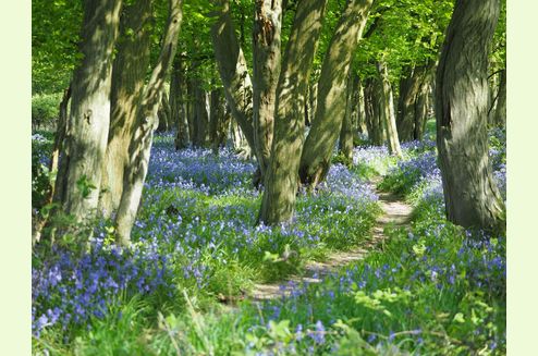
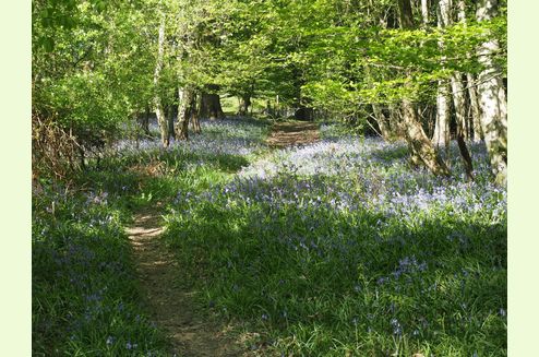
Of particular note is the amazing display of bluebells in spring, such a delightful way to start the year's growth followed by the explosion of green.
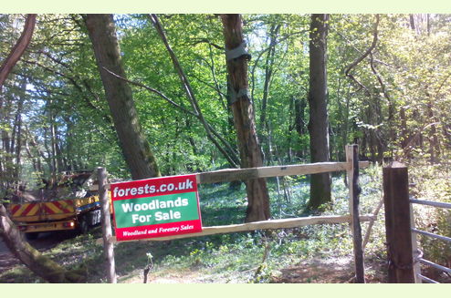
Access Is off Prestwood Lane through the metal gate. Although this is not owned by the woodland there is a full right of way in perpetuity and there are no other users, except for the occasional visit to check the low voltage overhead cables.
Boundaries Are either the lane side or woodland banks, except for the western part of the north boundary where there are free-standing posts.
CLICK HERE for better quality maps to print out. Click HERE to see free OS maps scroll out for a wider view.
Viewing: You are welcome to visit this wood by yourself, but please ensure that you have a copy of these sales details with you - many of our woodlands do not have mobile phone reception or internet access so we recommend either printing the details or downloading them to your phone/tablet/laptop. Please take care when viewing as the great outdoors can contain unexpected hazards and woodlands are no exception.
Maps are : © Crown copyright and database rights 2020 OS Licence no.100057987
Our Maps (Click on a map to see a large version)
Our Maps
Directions
Mount Wood, near Rusper is about 10 mins west of Crawley and about 15 mins north of Horsham.
Click here for Bing Maps Directions enter your own postcode, ( the location coordinates are already entered ), and click on the "Directions" box. This will take you to the roadside gate where you can park.
Satnav: the postcode RH11 0LF is for the point shown by the red dot on the location maps.
Coordinates for satnav are: N51.132171, W0.242917 these are for the metal access gate.
Please note: the particulars with plans, maps, descriptions and measurements are for reference only and although carefully checked we cannot guarantee their accuracy and do not form part of any contract. Any intending purchasers must satisfy themselves by inspection or otherwise as to the correctness of these particulars.


