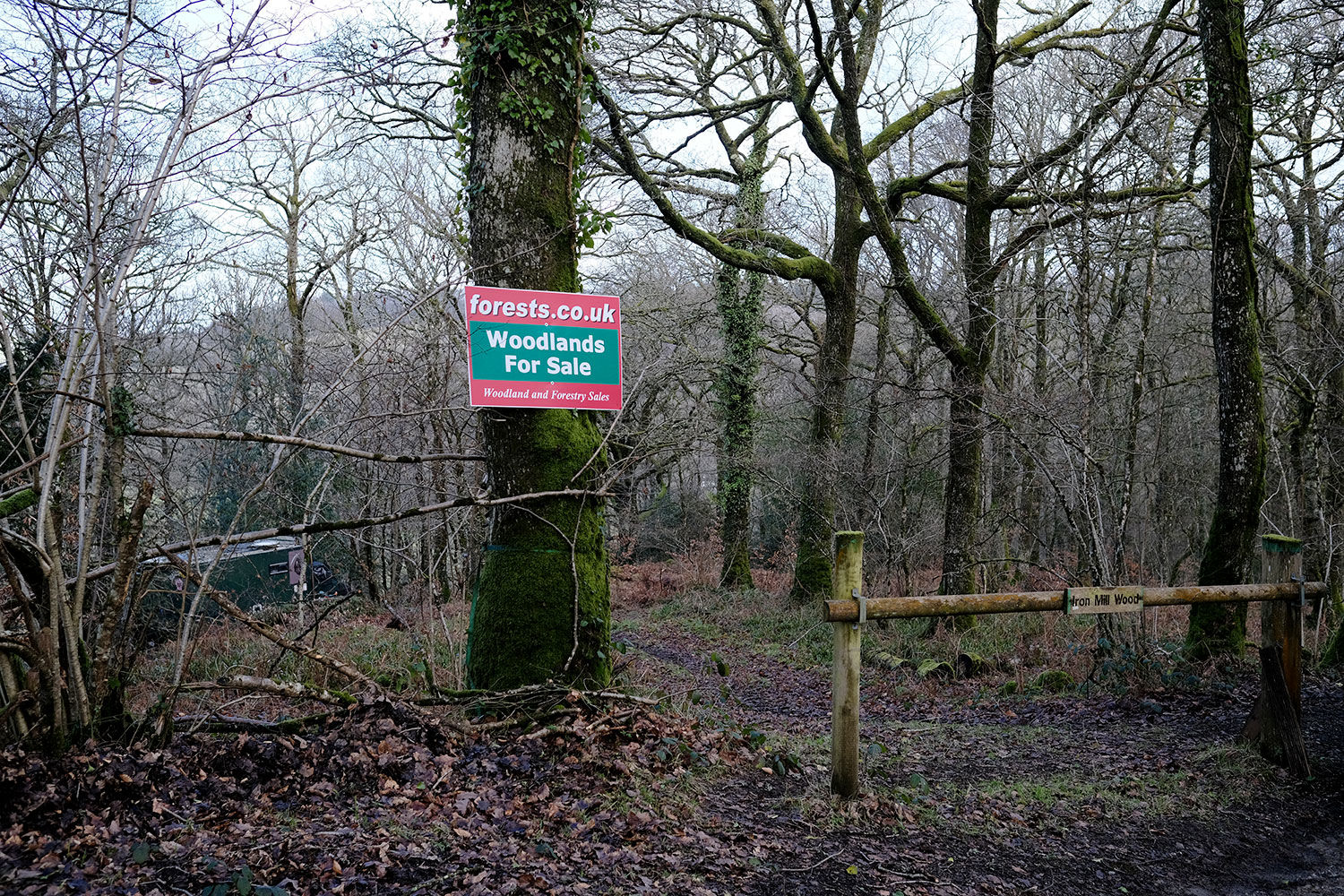
Iron Mill Wood - Devon

Details for this wood
Guide price: £95,000 - Freehold
Size: About 5½ acres
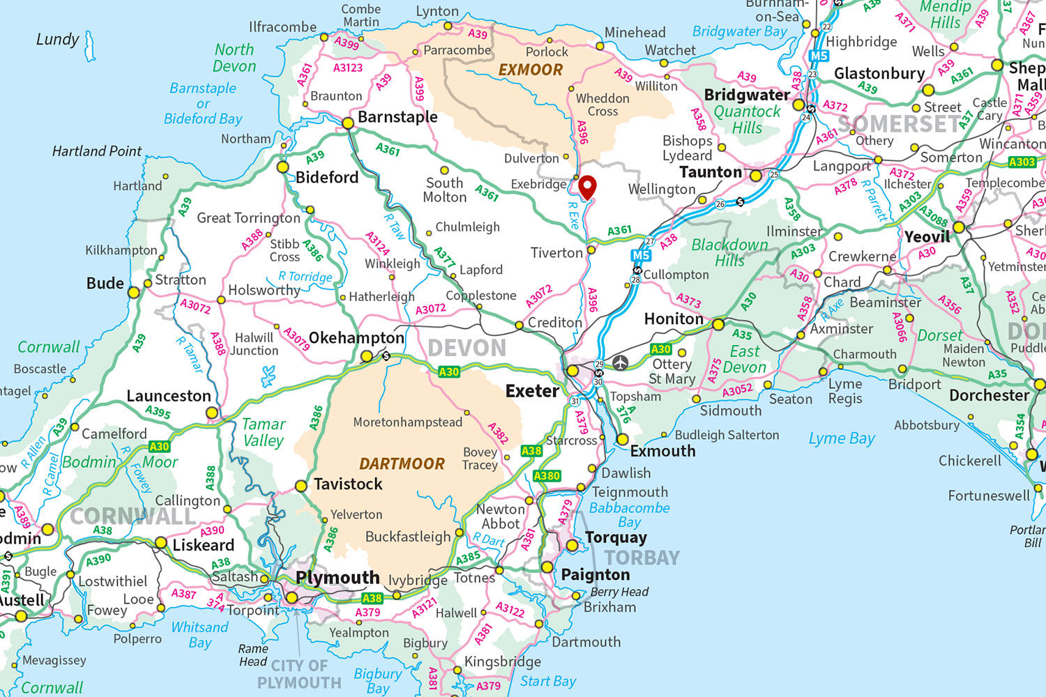
Location: Bampton, Tiverton
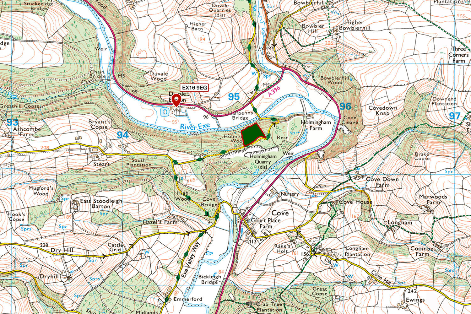
OS Landranger: No 181
Grid ref: SS 95167 20382
Nearest post code: EX16 9EG
Contact: Ben Williamson
Phone: 07958 213 914
Email: [email protected]
Email to a friend
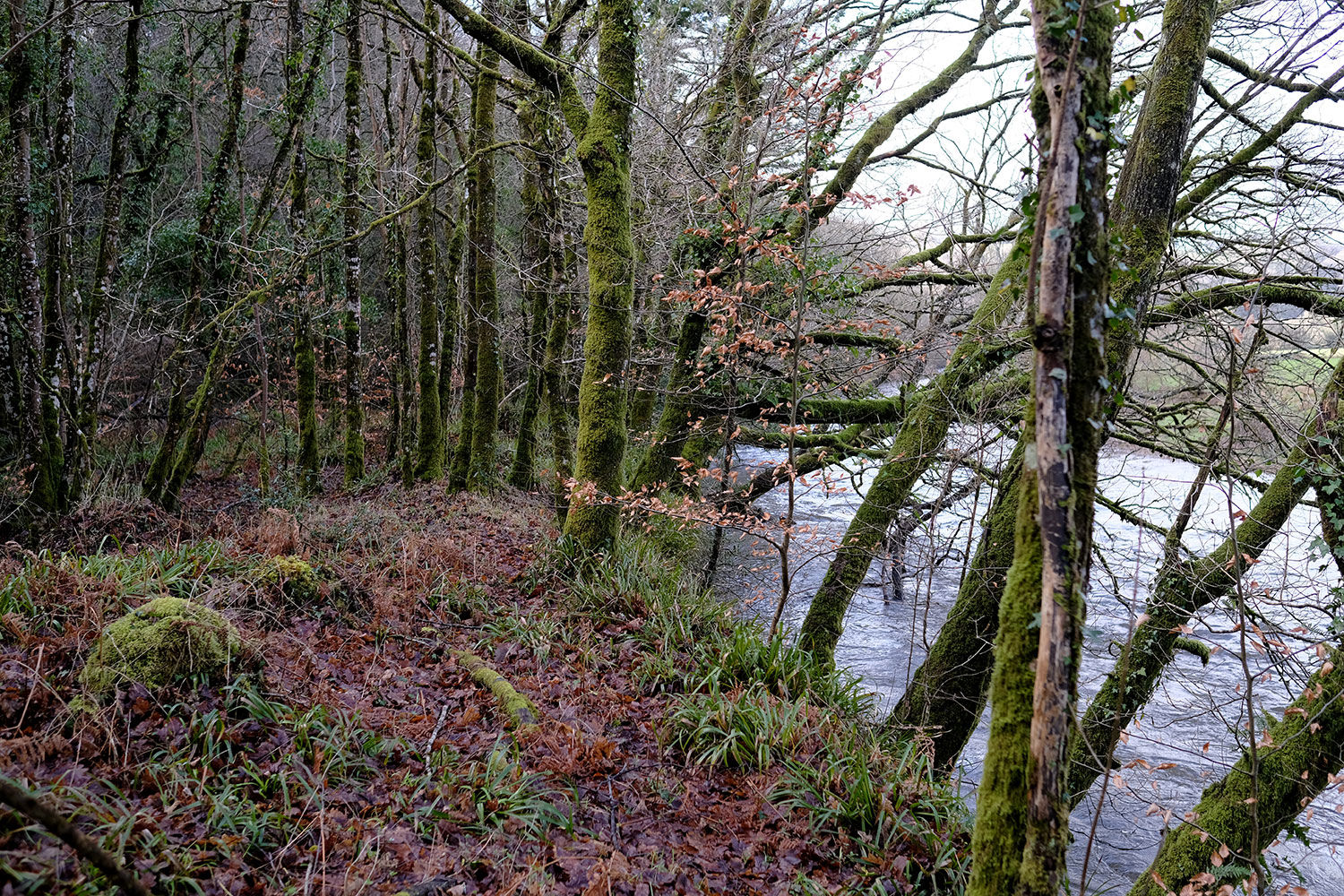
Iron Mill Wood is a charming semi-ancient woodland perched along the banks of the River Exe, near the stunning Exmoor National Park. This scenic retreat is divided into two sections, each with its own access.
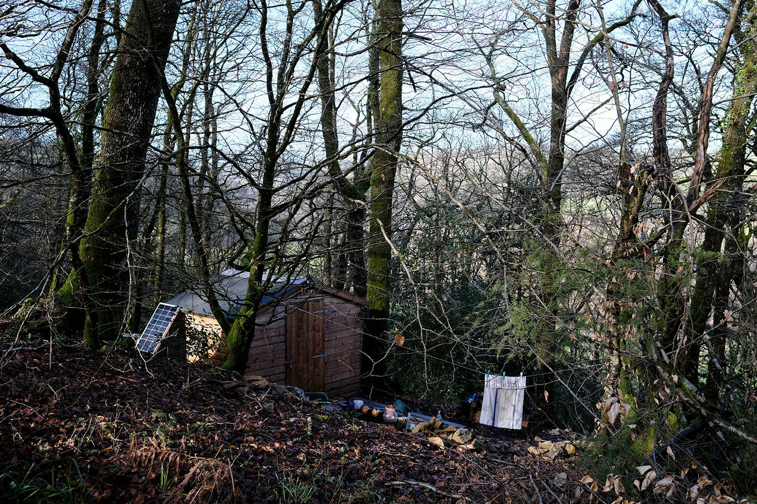
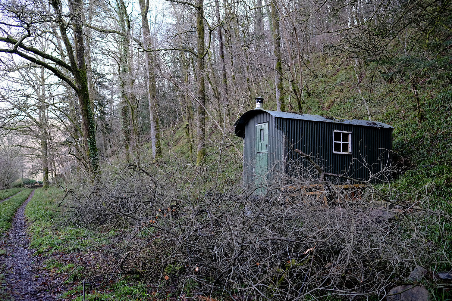
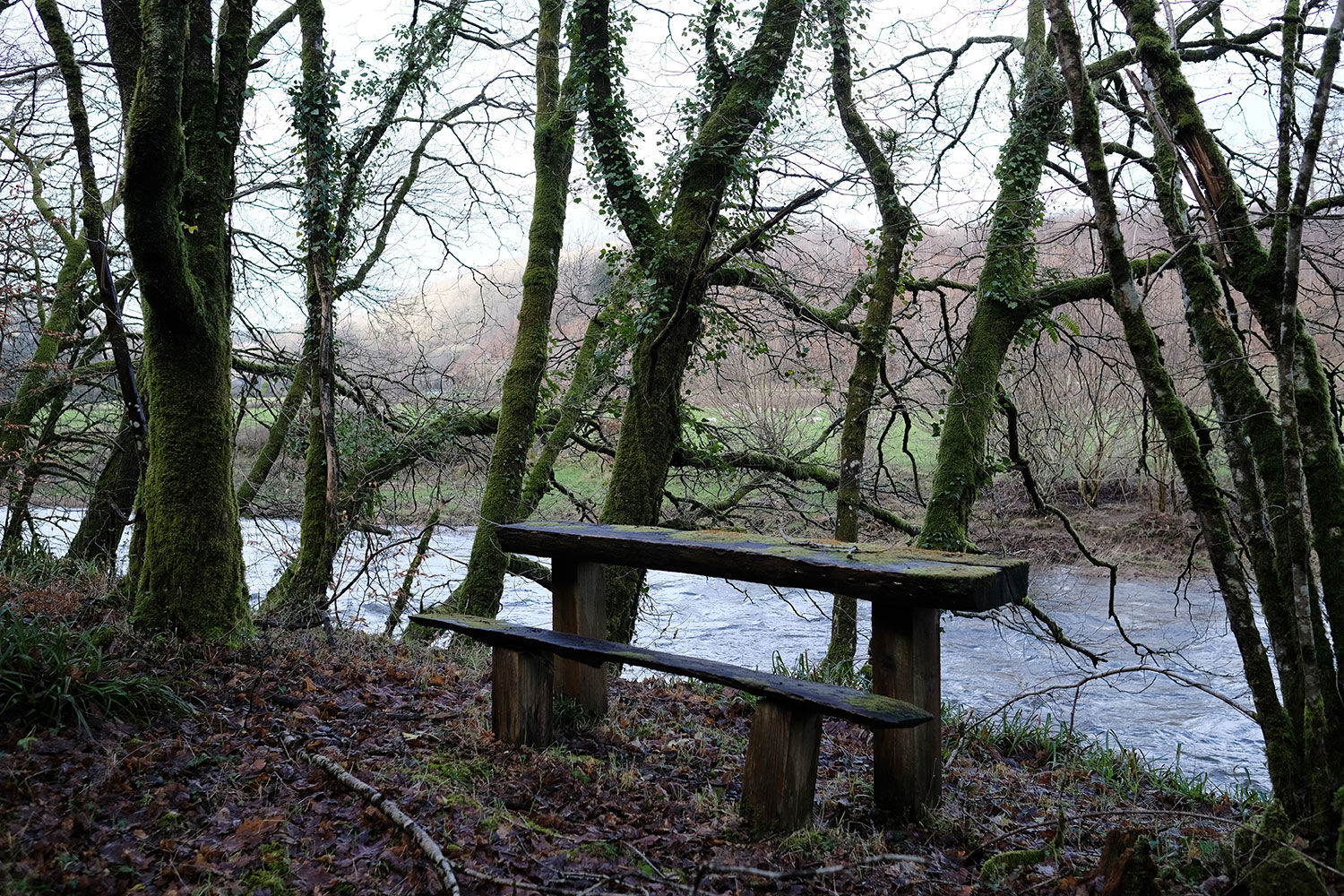
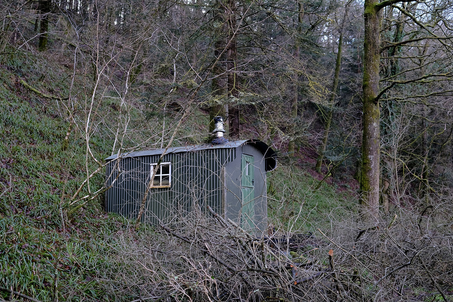
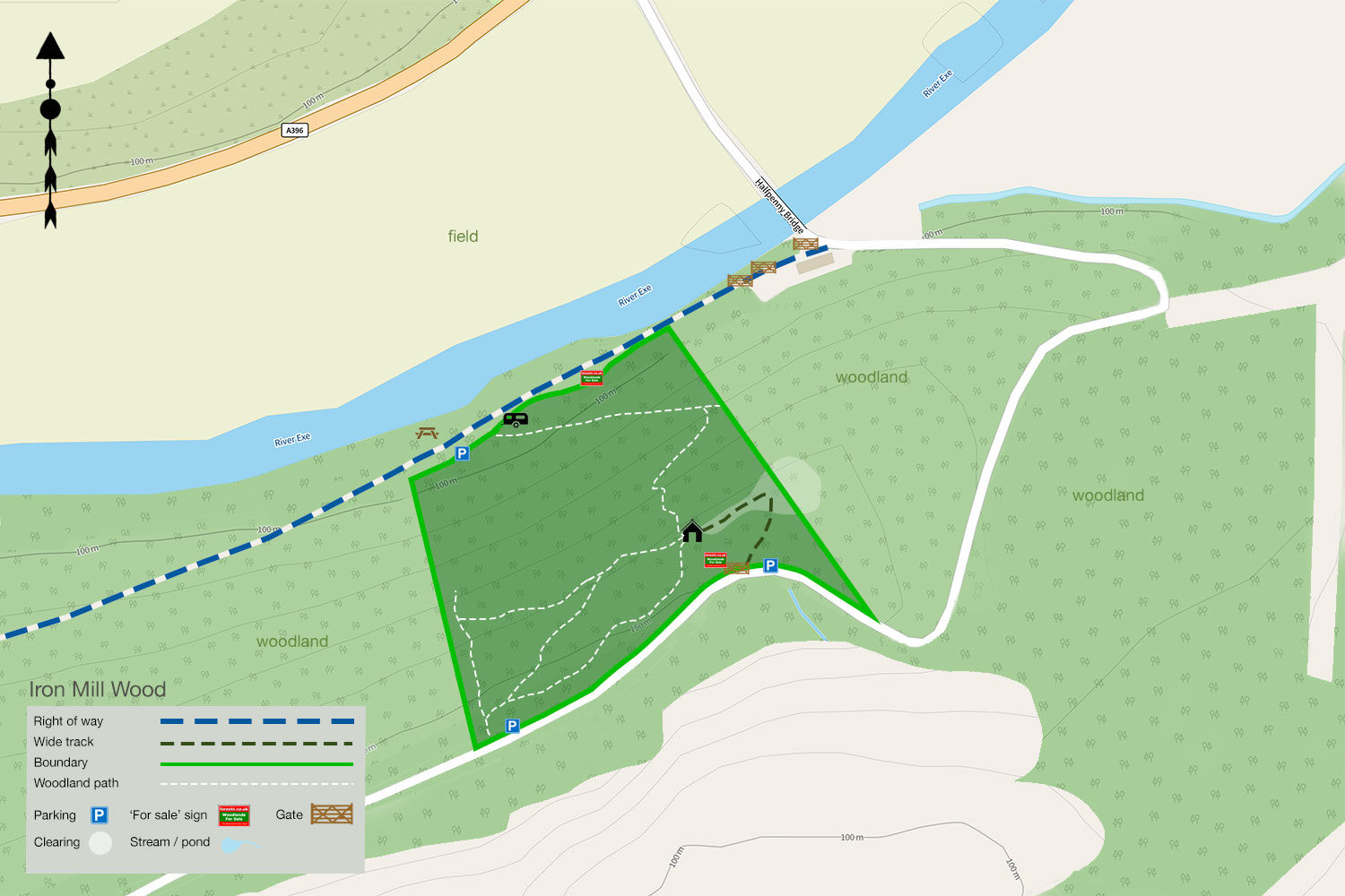
The lower section runs alongside the river, offering tranquil views over the water and the surrounding fields. Here, you'll find a private parking area and a shepherd’s hut, perfectly positioned to take in the scenery. Equipped with a log burner, it's a cozy retreat on cooler days. The owner also shares access to a picturesque picnic area by the river, where otters, kingfishers, and dippers are often spotted.
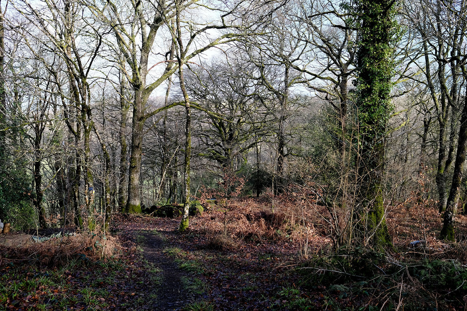
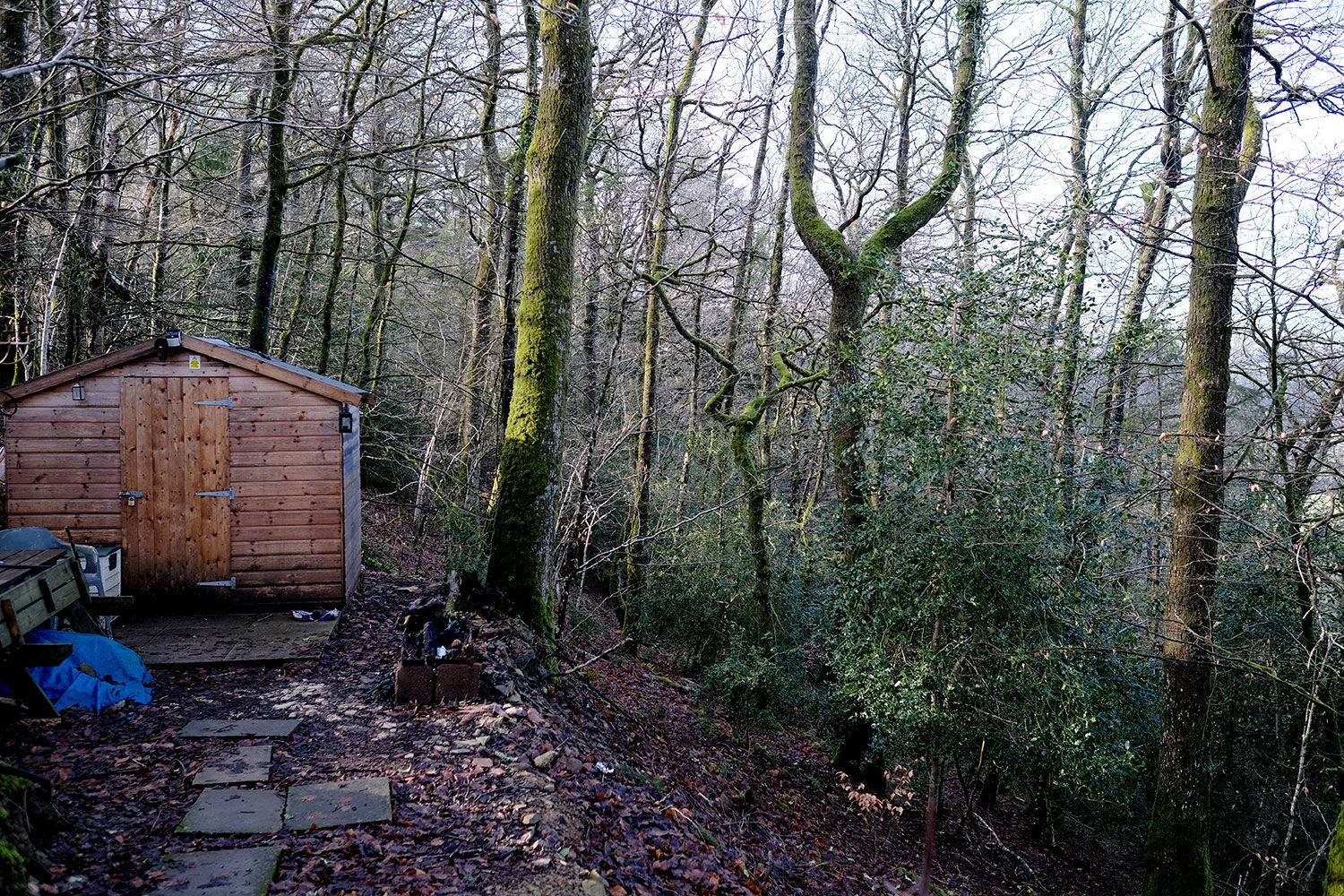
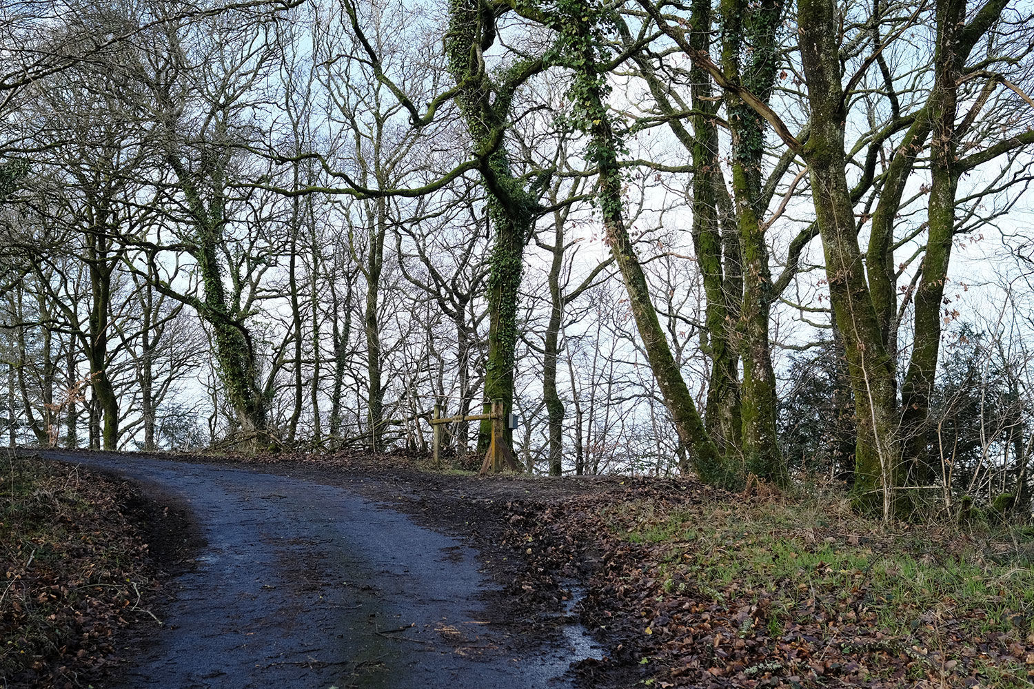
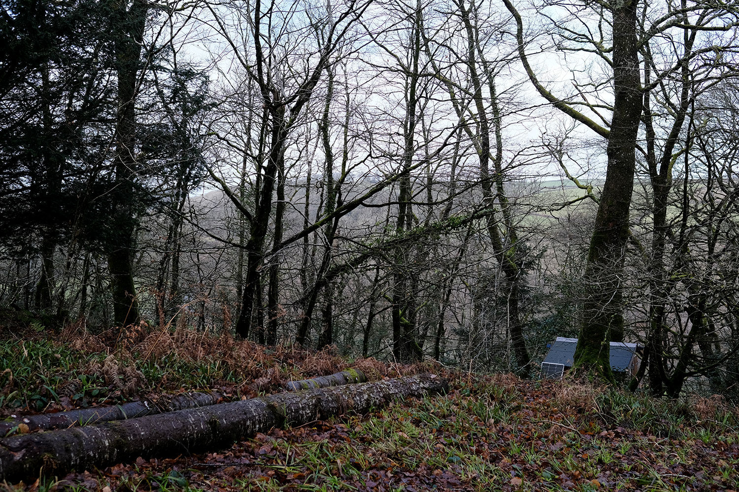
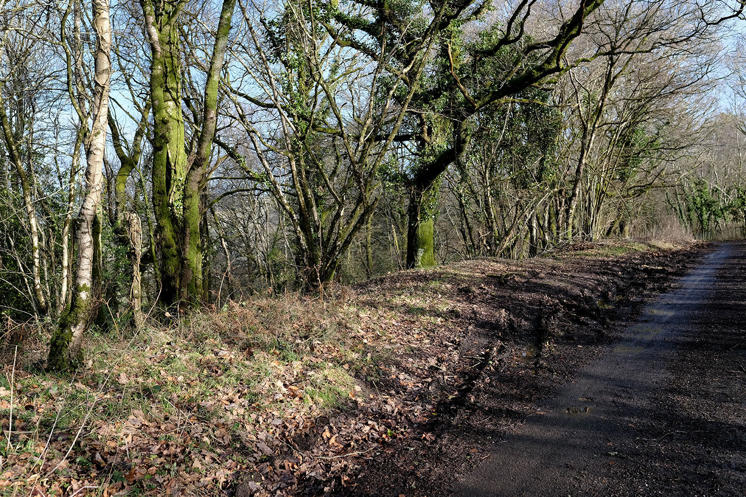
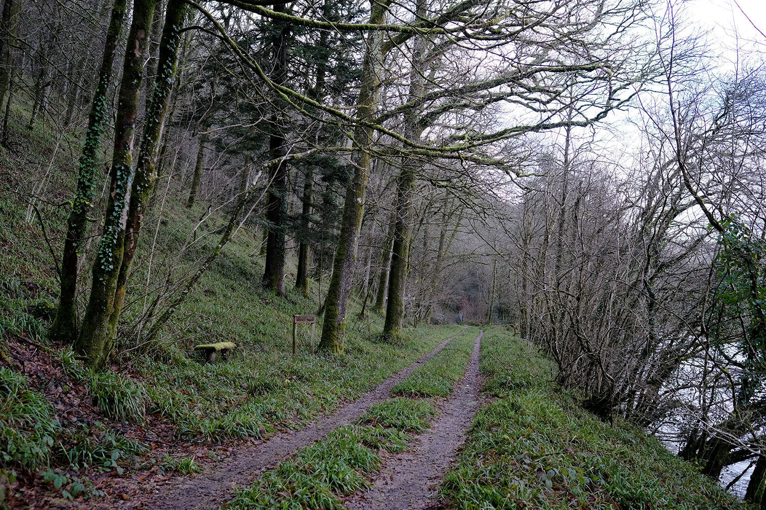
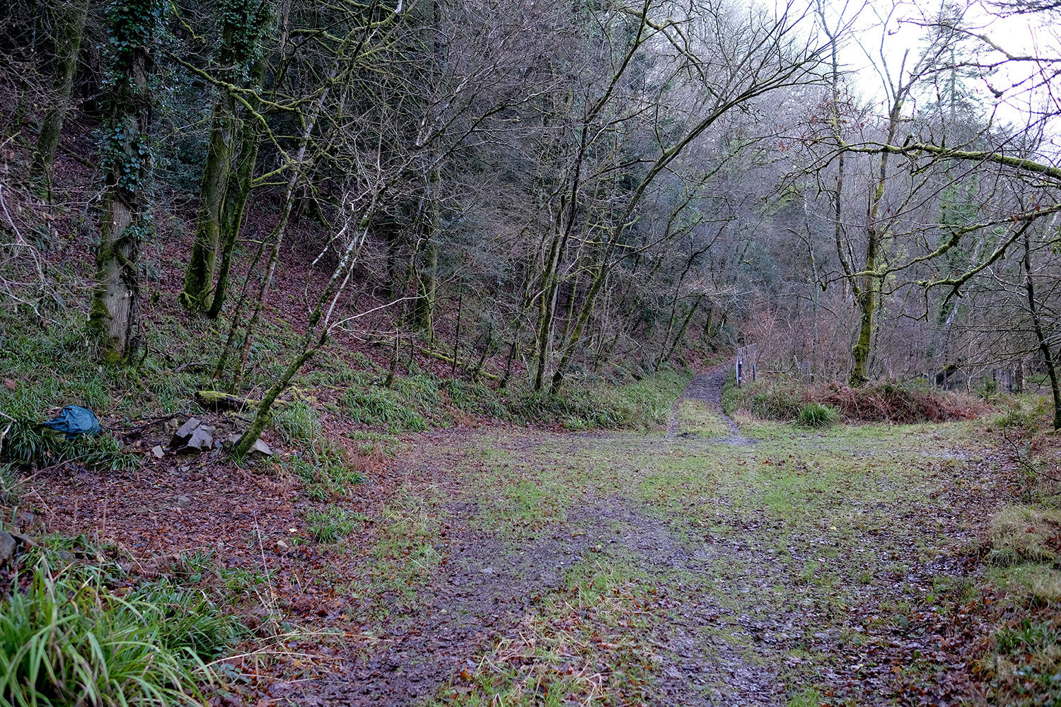
Looking south, the woodland rises uphill, with tracks leading to the higher section. These paths can be slippery in wet weather, but there's an alternative access point from the country lane. A wide track descends from the ridestop, leading to a spacious, flat clearing with breathtaking views across the rolling hills—an ideal spot for motorhome parking or summer camping. A storage shed is also on-site for convenience.
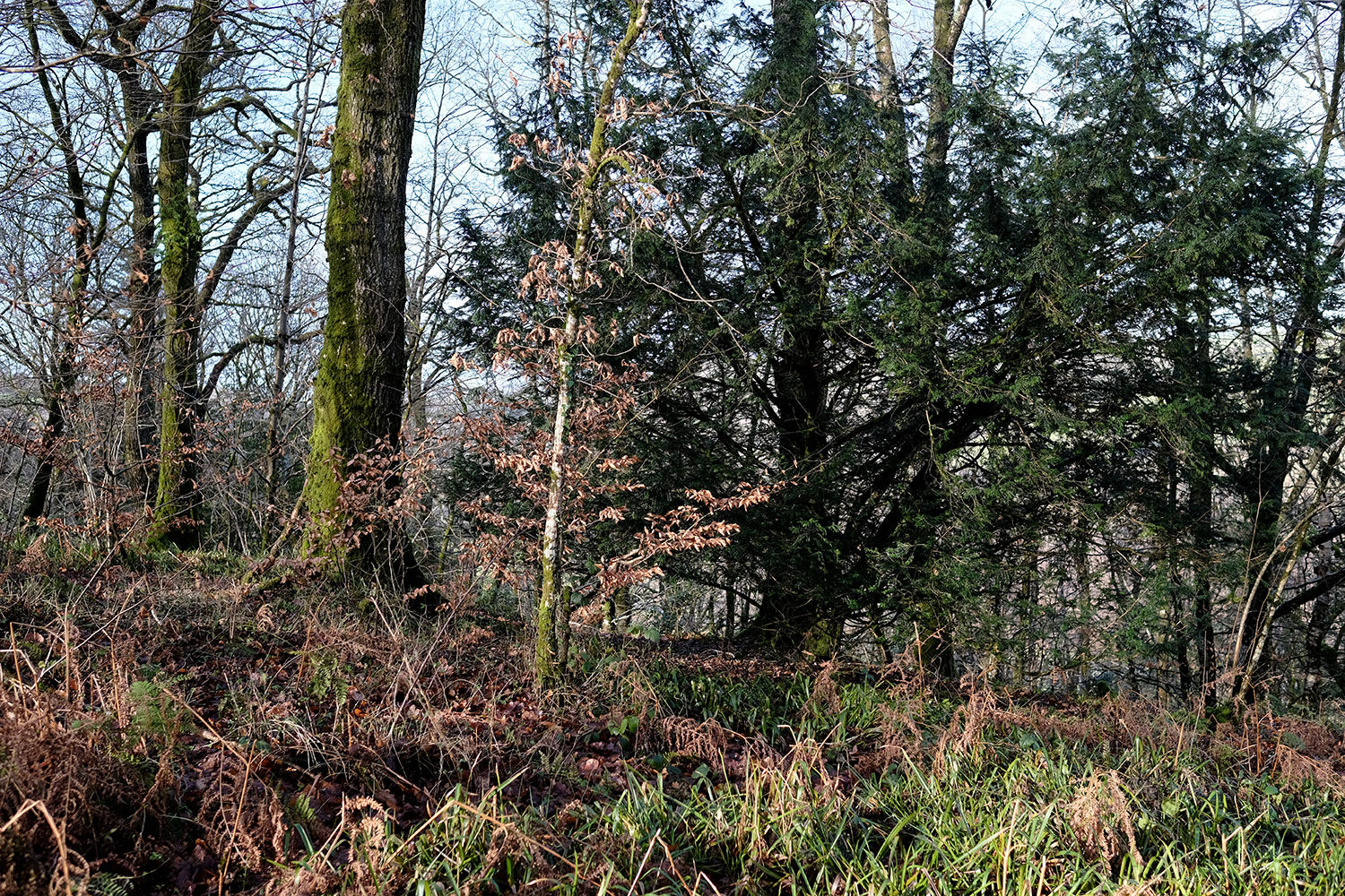
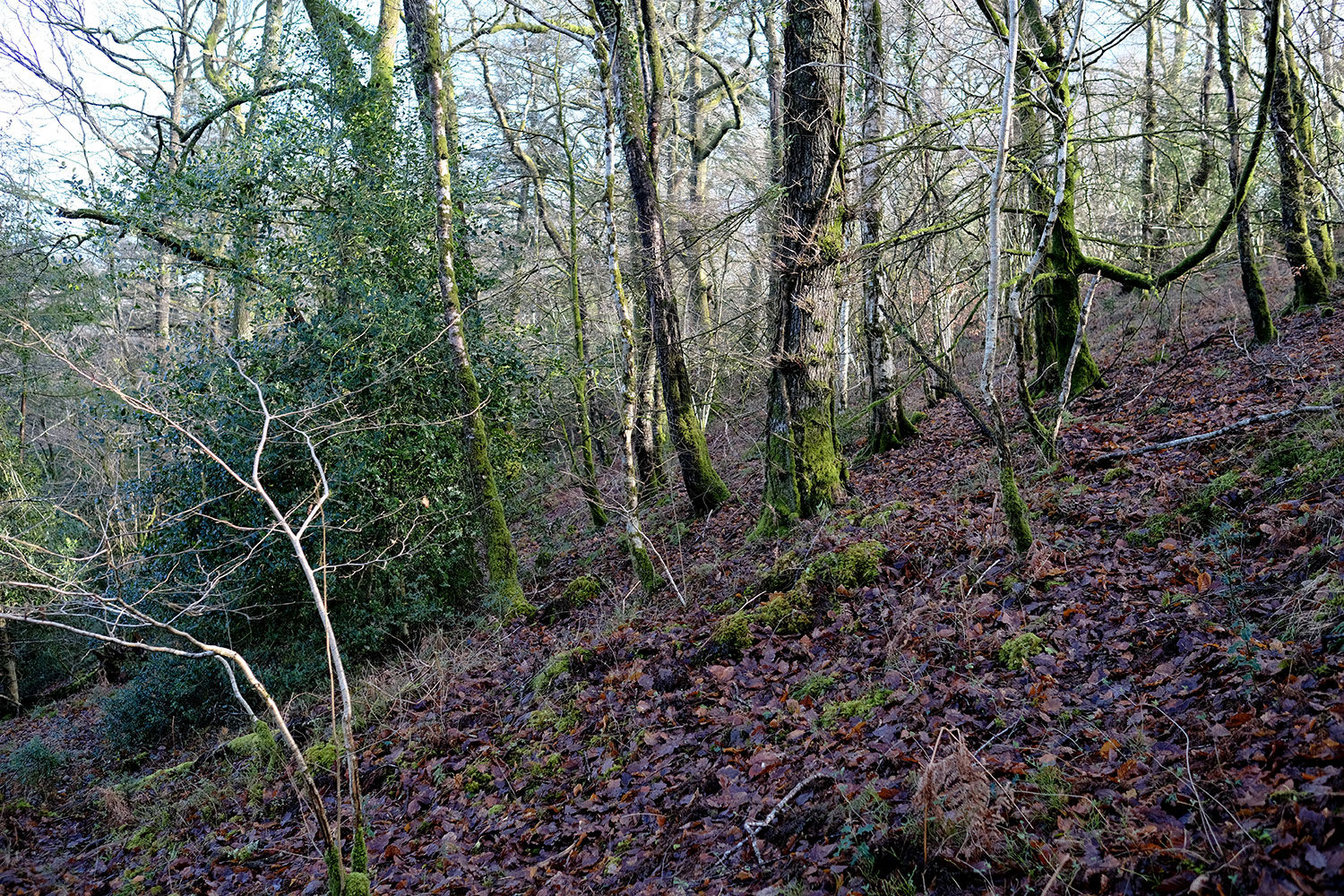
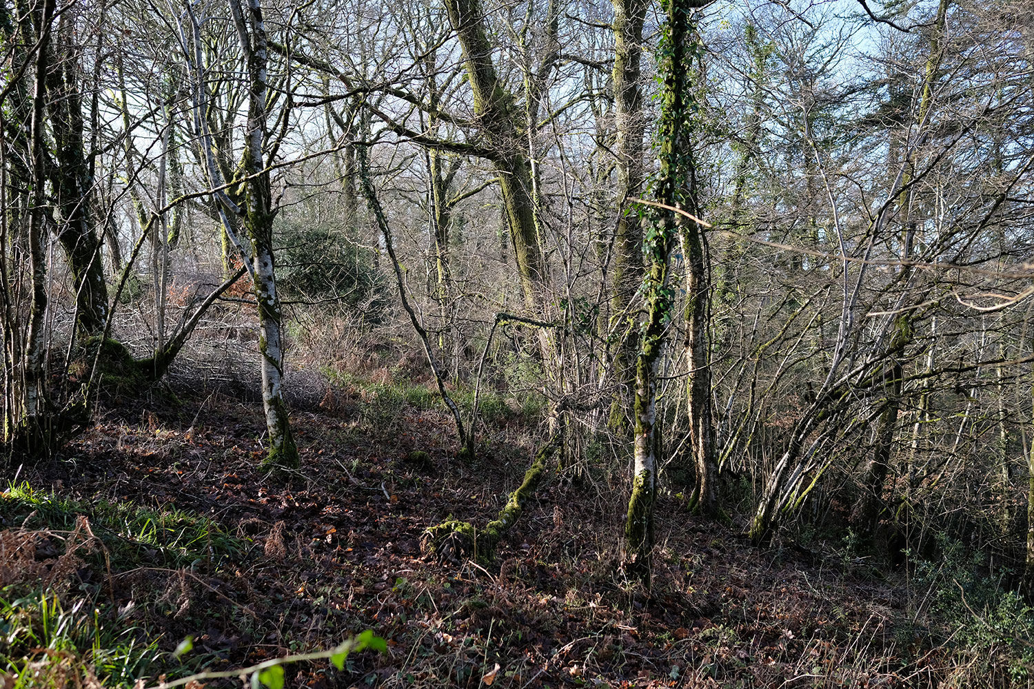
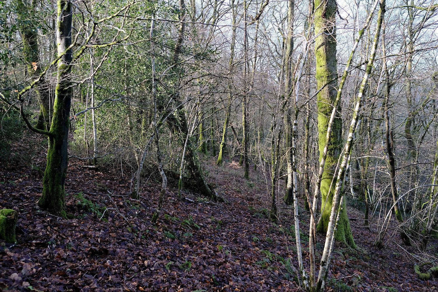
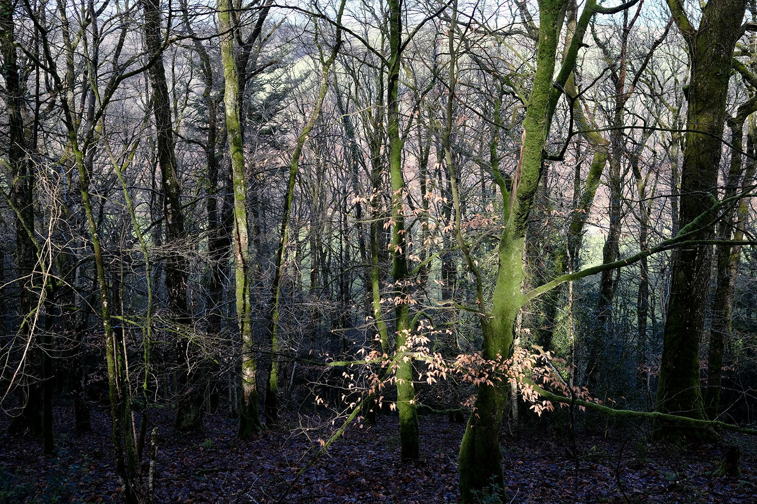
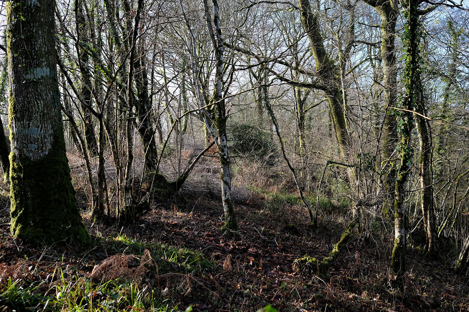
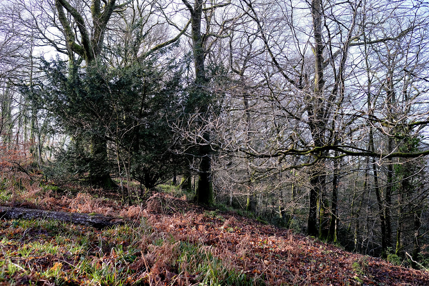
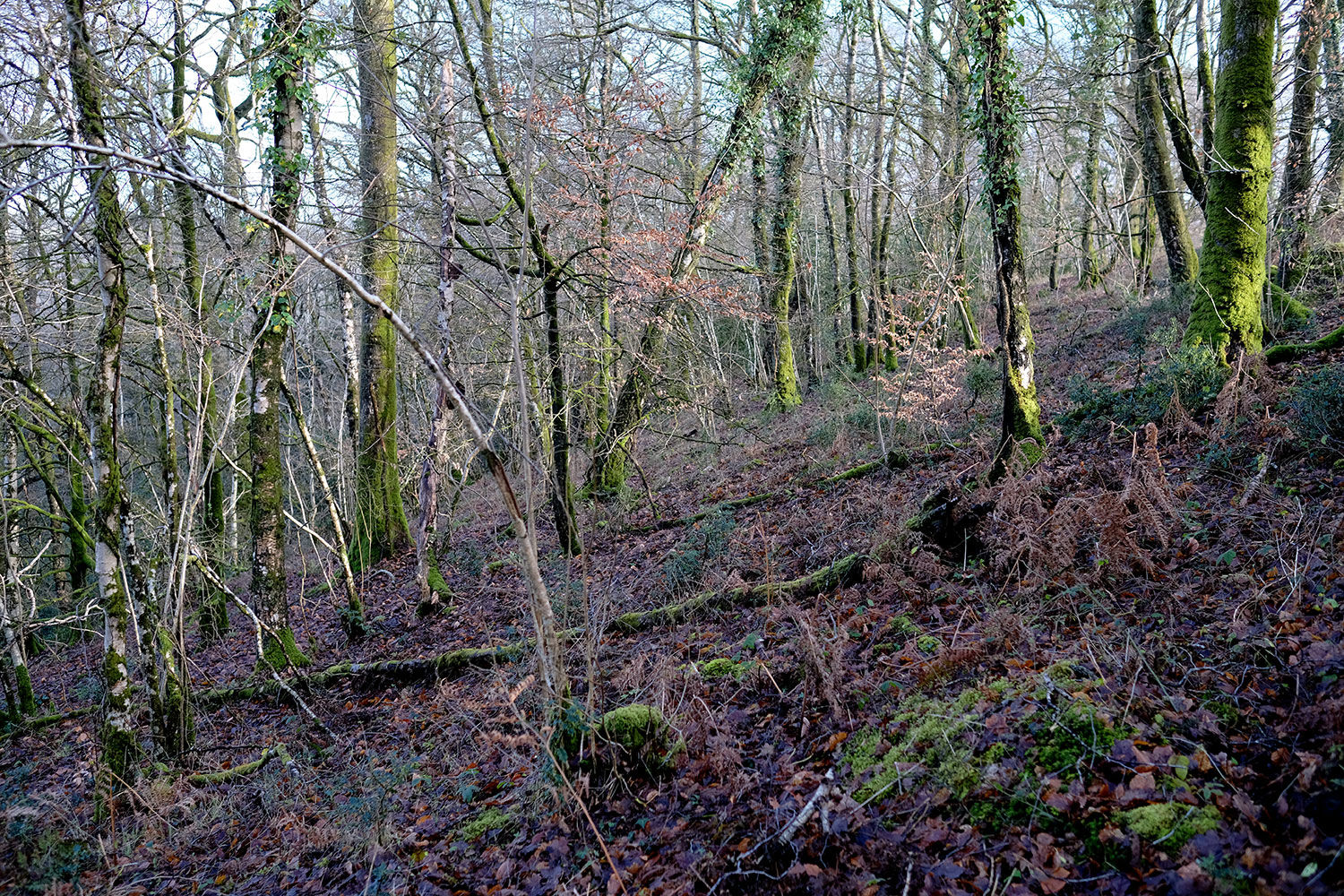
The woodland is dominated by majestic veteran oaks, interspersed with beech, sycamore, birch, hazel, holly, and the occasional yew. In spring, a vibrant carpet of bluebells blankets the forest floor. Deer frequently roam the area, as evidenced by the many tracks weaving through the trees.
Locally, the Exeter Inn is within walking distance, while the charming town of Bampton offers shops, pubs, and restaurants. Just a short drive south, Tiverton provides additional amenities. For those seeking adventure, Exmoor and the coast are easily accessible for day trips.
For buyers interested in expanding their woodland retreat, Steart Wood located next to Iron Mill Wood, is also available for purchase. If you're considering a joint acquisition, please get in touch to discuss further details.
The ward is Clare & Shuttern and the county council is Devon.
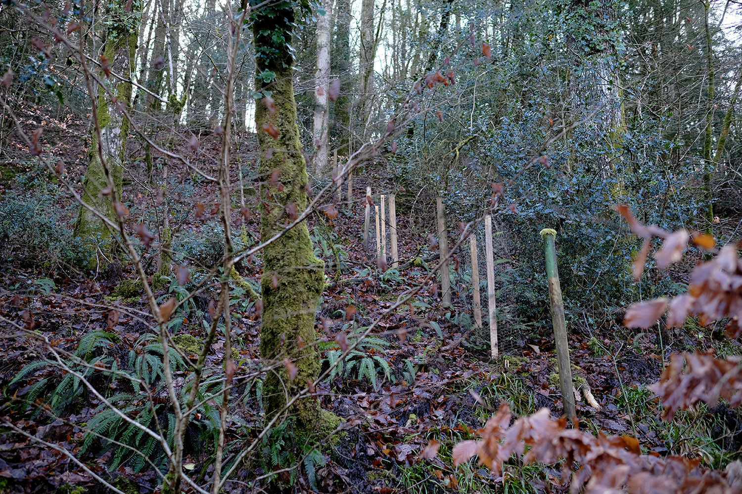
Boundaries: The boundary is partially fenced to the west and open E, N and S and borders a country lane to the south. E and W borders neighbouring woodland and is marked with green stakes. To the north, the woodland follows the shared access track along the River Exe.
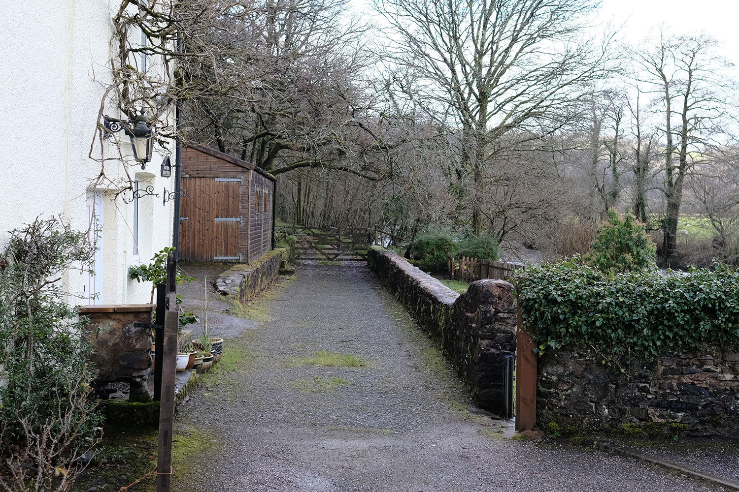
Access: There are two access points at Iron Mill Wood, one at the northern side, via a shared locked gate and a hard track that runs along the river. There is also a large turning and parking area. The second access is situated on the southern side of the wood which is accessed via a private gate along the country lane. There is also a third entrance to the southwest, which can be accessed by 4x4 or on foot.
Click HERE to see free OS maps.
Covenant: There is a covenant on the wood designed to ensure the quiet and peaceful enjoyment of this and adjoining woodlands, click HERE to read and download.
Viewing: You are welcome to visit this wood by yourself, but please Click here to download the details showing the location of the woodland and ensure that you have a copy of these sales details with you. Many of our woodlands do not have mobile phone reception or internet access so we recommend either printing the details or downloading them to your phone or tablet. Please take care when viewing as the great outdoors can contain unexpected hazards and woodlands are no exception.
Maps: OS OpenData © Crown copyright and database rights 2025 & OpenStreetMap
Our Maps (Click on a map to see a large version)
Our Maps
Directions
Iron Mill Wood, Bampton, Tiverton
1. Click here for Bing Maps Directions click on the "Directions" box and enter your own postcode.
-
For viewing purposes, please park on the verge near the main entrance as marked on the map.
-
Pass by the ridestop to enter the woodland.
-
To access the lower section along the River Exe, follow the lane down the hill on foot. Pass by the cottage at the bridge and the two gates. After 100m Iron Mill Wood will be on your left. The shared picnic area is further up the track on the right.
2. For Satnav, the nearest postcode is EX16 9EG as the map marker shows. The main coordinates for access are: 50.973095, -3.493800. W3W: ///glorious.wolves.graphics
3. We recommend downloading OS maps to your phone. It's very useful for giving you an idea of where you are on the ground when viewing woodlands.
Please note: the particulars with plans, maps, descriptions and measurements are for reference only and although carefully checked we cannot guarantee their accuracy and do not form part of any contract. Any intending purchasers must satisfy themselves by inspection or otherwise as to the correctness of these particulars.
Location maps
View and print this wood's location on Bing Maps »
Interested in this woodland? Get in touch with us:
Contact Ben Williamson on 07958 213 914 or email us at [email protected] with your details.