Allt y Dinas

Details for this wood
Guide price: £45,000 - Freehold
Size: 4 acres
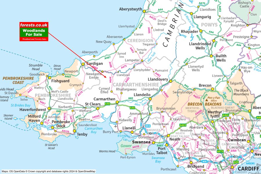
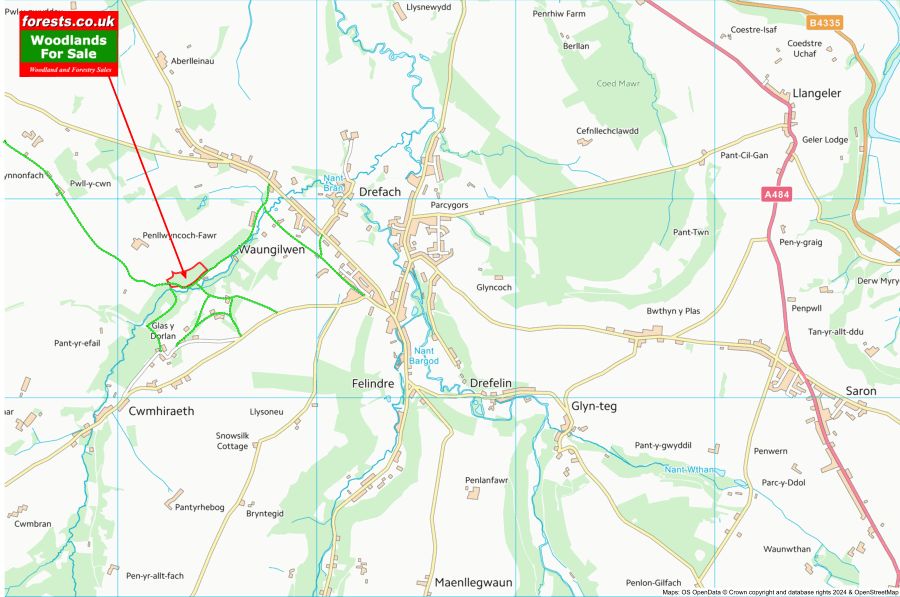
Location: Waungilwen, Newcastle Emlyn, Ceredigion
OS Landranger: 145
Grid ref: SN343386
Nearest post code: SA44 5XJ
Contact: Sandra Colley
Phone: 07769654392
Email: [email protected]
Email to a friend
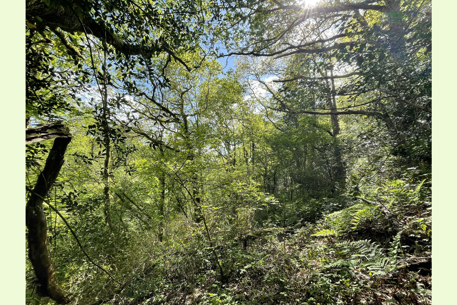
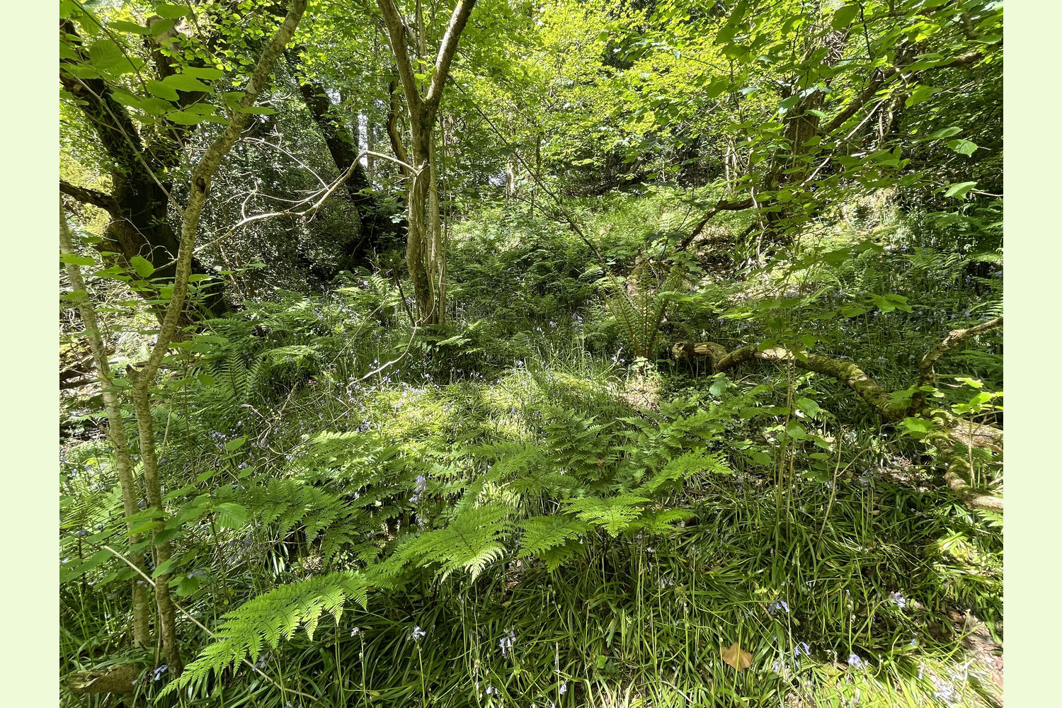
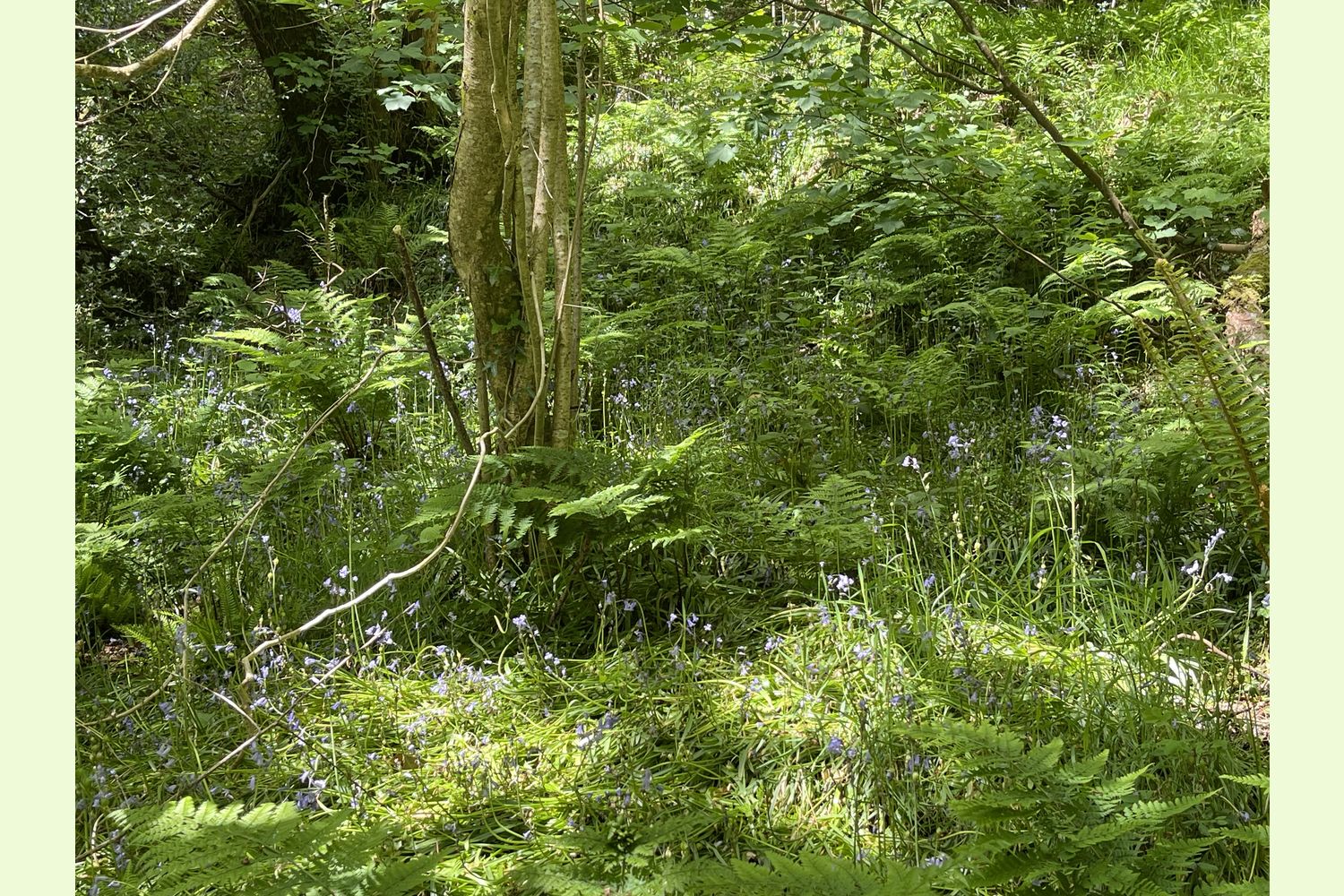
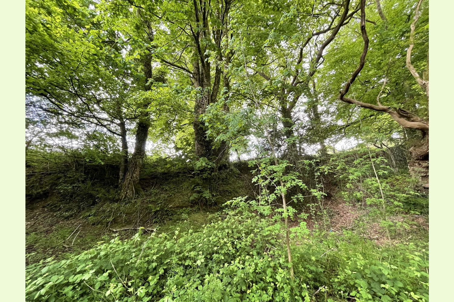
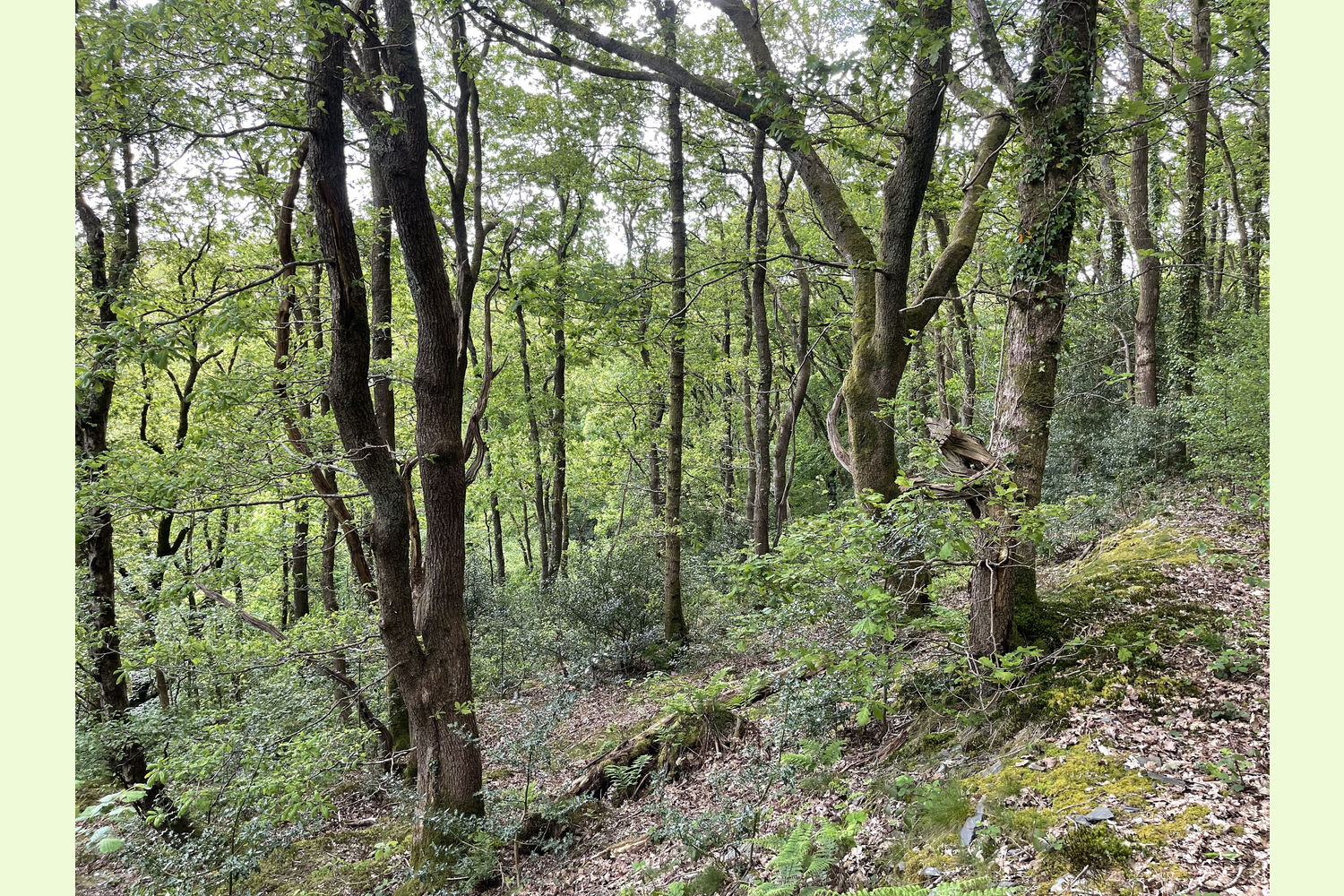
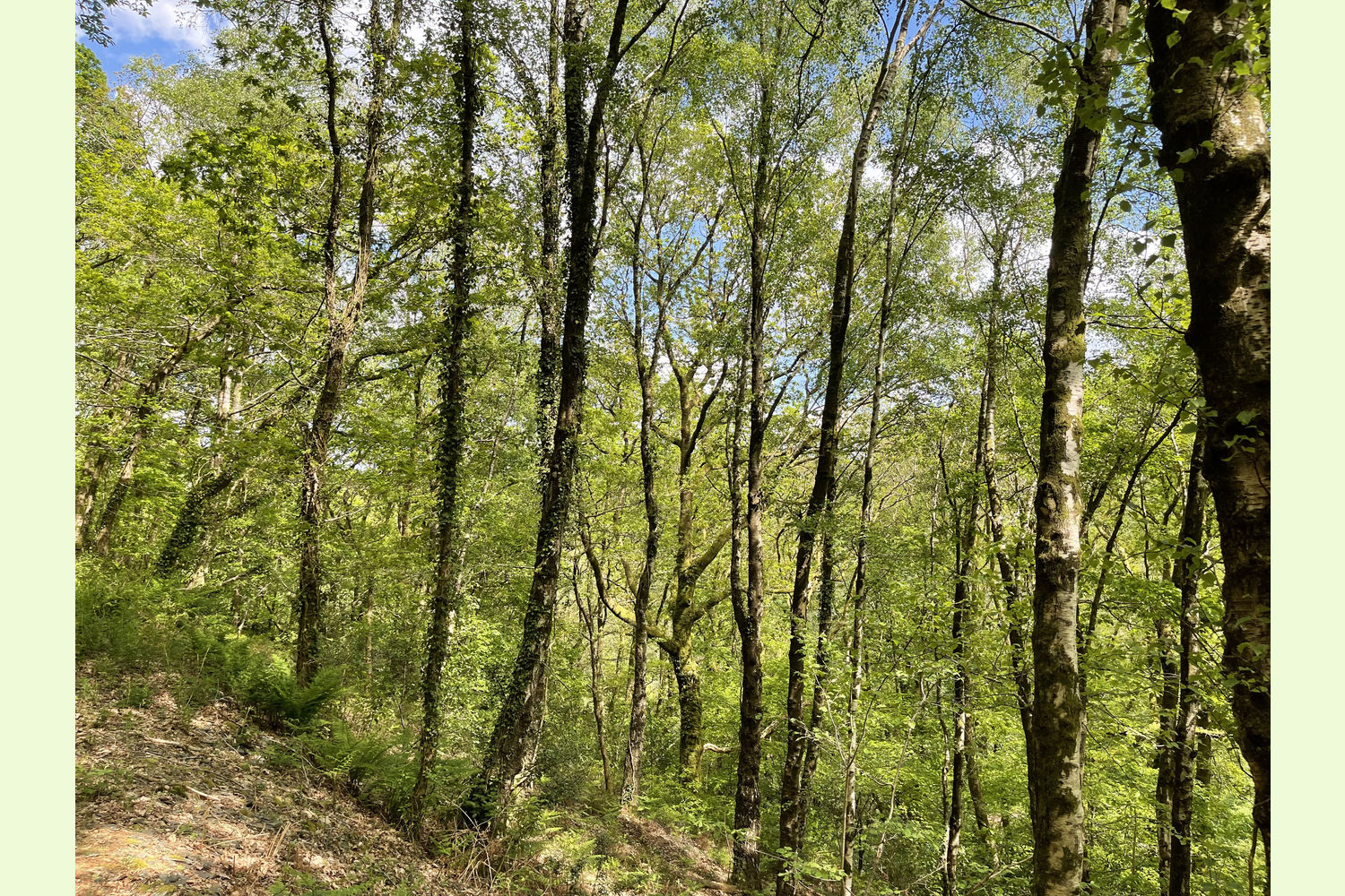
Description: Allt y Dinas (or Allt y Ddinas) is a broadleaf woodland, mainly oak, ash, and holly, but with plenty of other species as well, running along the Dinas valley, with the Nant Bran stream running through the valley just below the wood.
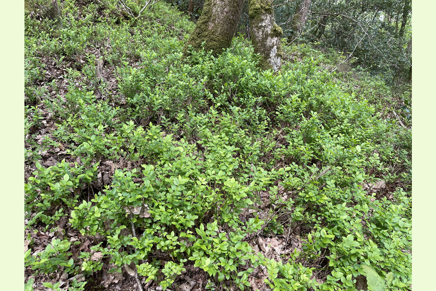
The whole of the wood is designated as Ancient Semi-Natural Woodland, which means it has been woodland for at least 400 years, and the history can be seen in the variety of species that populate the woodland floor. Bluebells are widespread throughout the wood, the pale-yellow flowers of Common Cow Wheat, and bilberry and ferns are plentiful. In a few places where there is plenty of light, bramble is well established, but it is not a feature of most of the woodland.
Wildlife: There is evidence of badgers within the wood, and it’s alive with the sounds of birds, including wren, thrush, blackbird and chiffchaff.
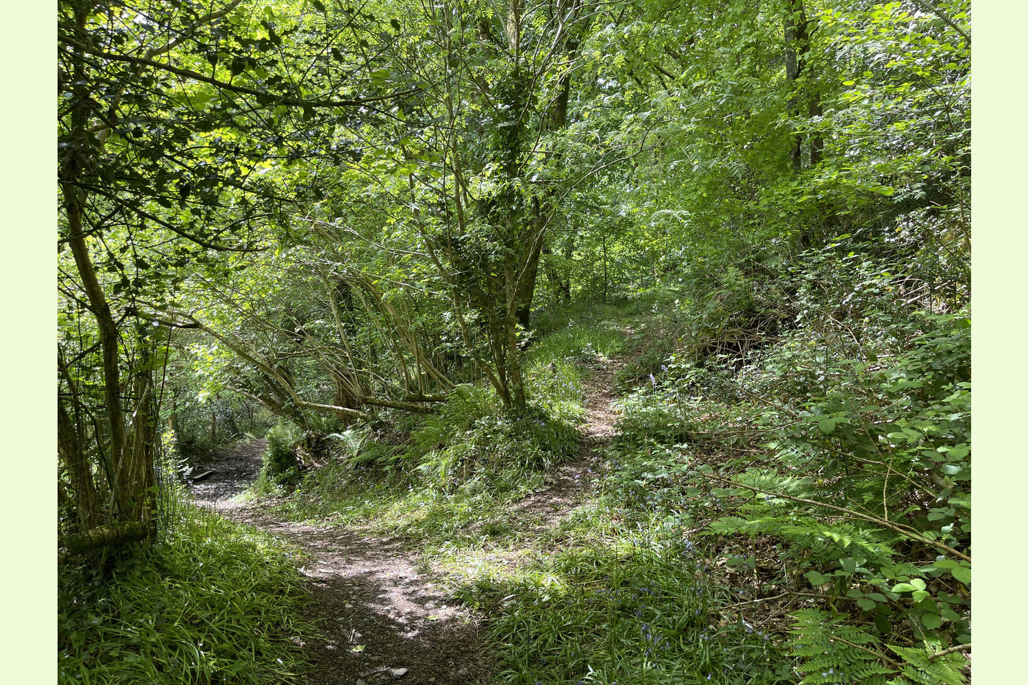
Access: Allt y Dinas is only accessible on foot along a choice of several public footpaths. The footpath coming in from Waungilwen, to the north-east, serves a couple of houses, and is suitable for vehicles, but the owner of the wood has no defined right-of-way along this track. It may be possible for a new owner to agree access with the owner of the track.
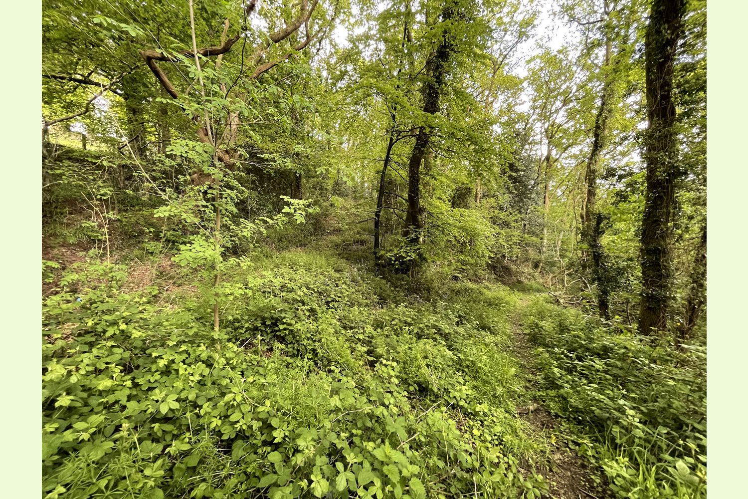
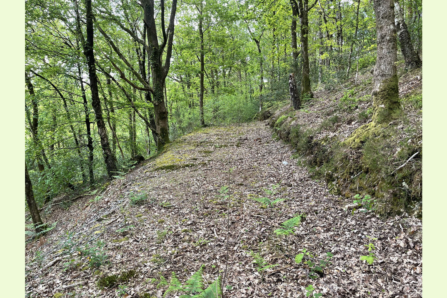
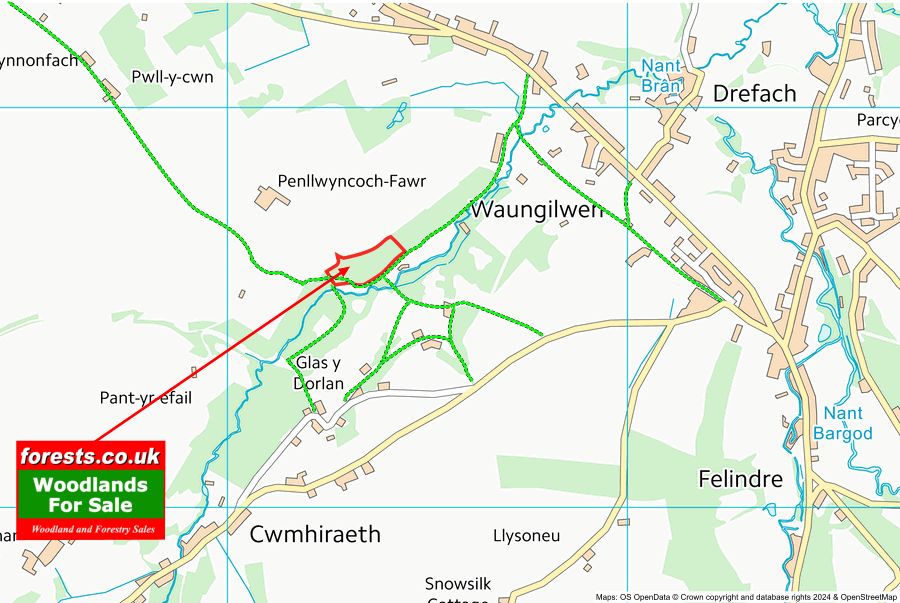
From the western corner, a track runs the full length of the wood, providing easier access to the upper levels.
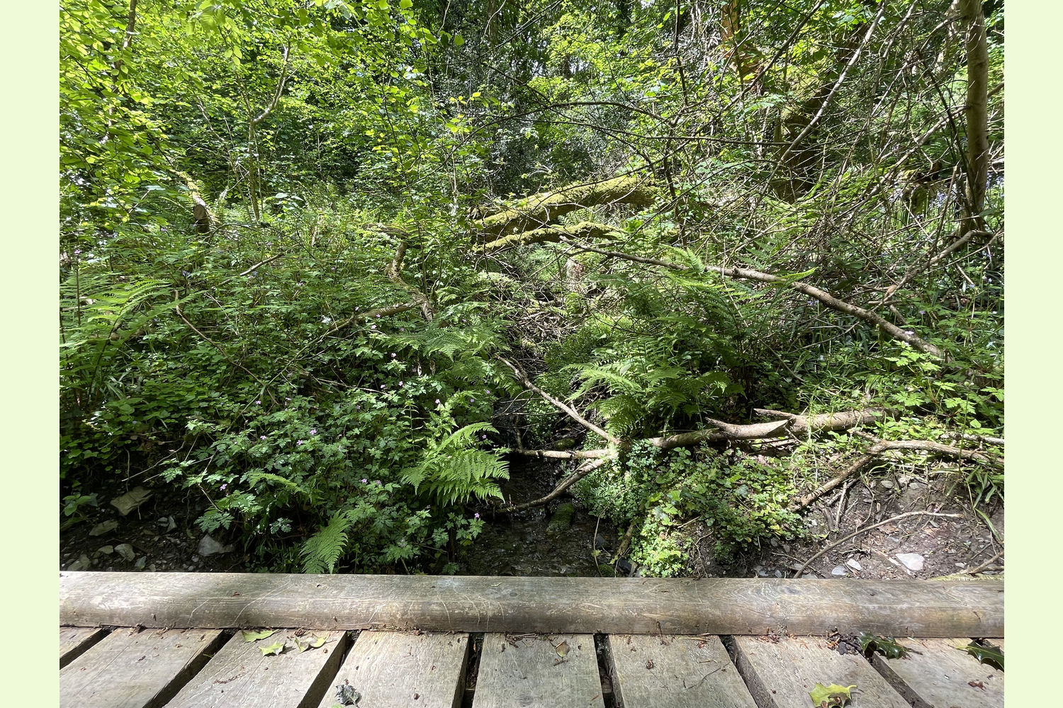
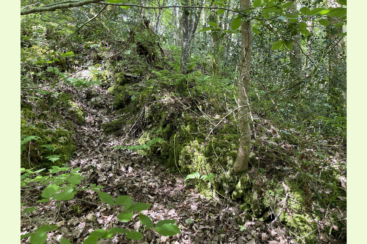
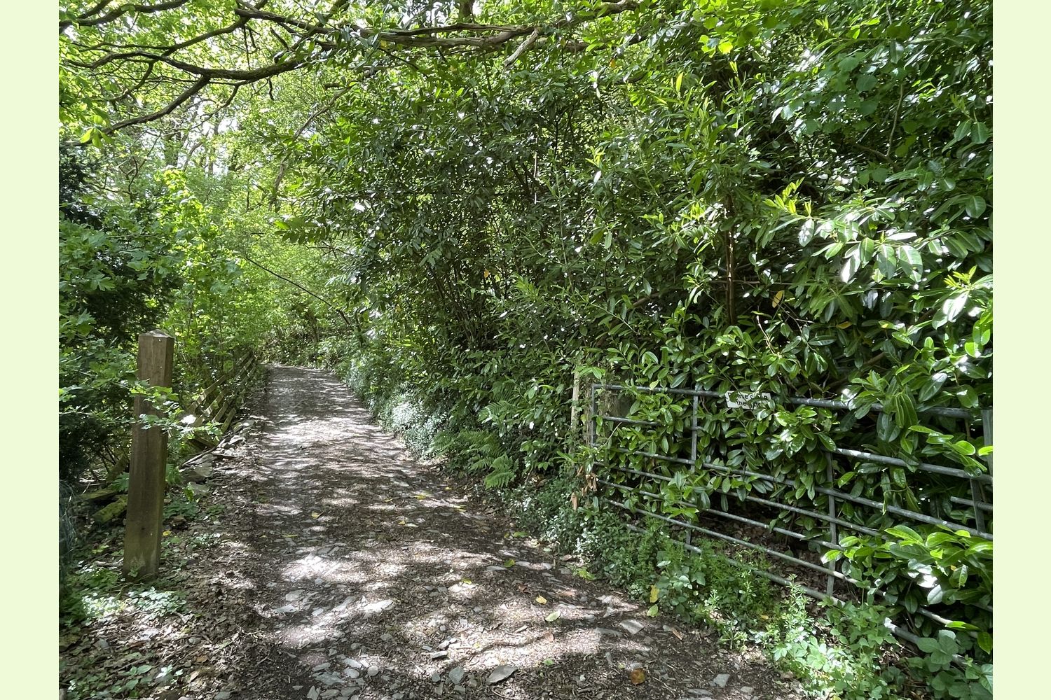
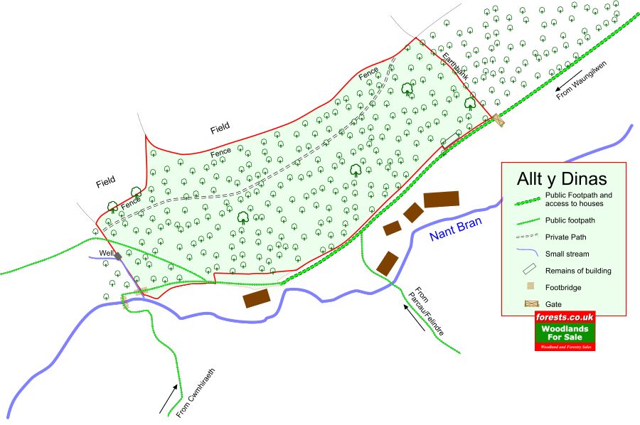
Boundaries: The north-western boundary is fenced from adjoining farmland. The south-eastern boundary is mostly formed by the track. The north-eastern boundary is a tree-lined earthbank (see photo 14), that runs up the hill directly behind a gateway (see photo 18) on the path/track coming in from Waungilwen . The western boundary is partly a small stream. At the western end of the wood, the path runs over a small footbridge (see photo 4), over the small stream, before turning sharply left to a footbridge over the Nant Bran. The boundary is the middle of the first bridge over the small stream. From there, the boundary runs up the stream as far as the remains of a well on the spring line, and then runs in a straight line up the hill to the fence line at the top.
Sporting rights: Included
Mineral rights: Included, except as excluded by statute, over both ends of the wood, but excluded in the central half of the wood.
Public footpaths: A public footpath runs outside the south-eastern boundary of the wood for most of its length. Two paths then run through the western corner of the wood, one heading to the bridge over the Nant Bran, the other heading up hill to the far western corner of the wood.
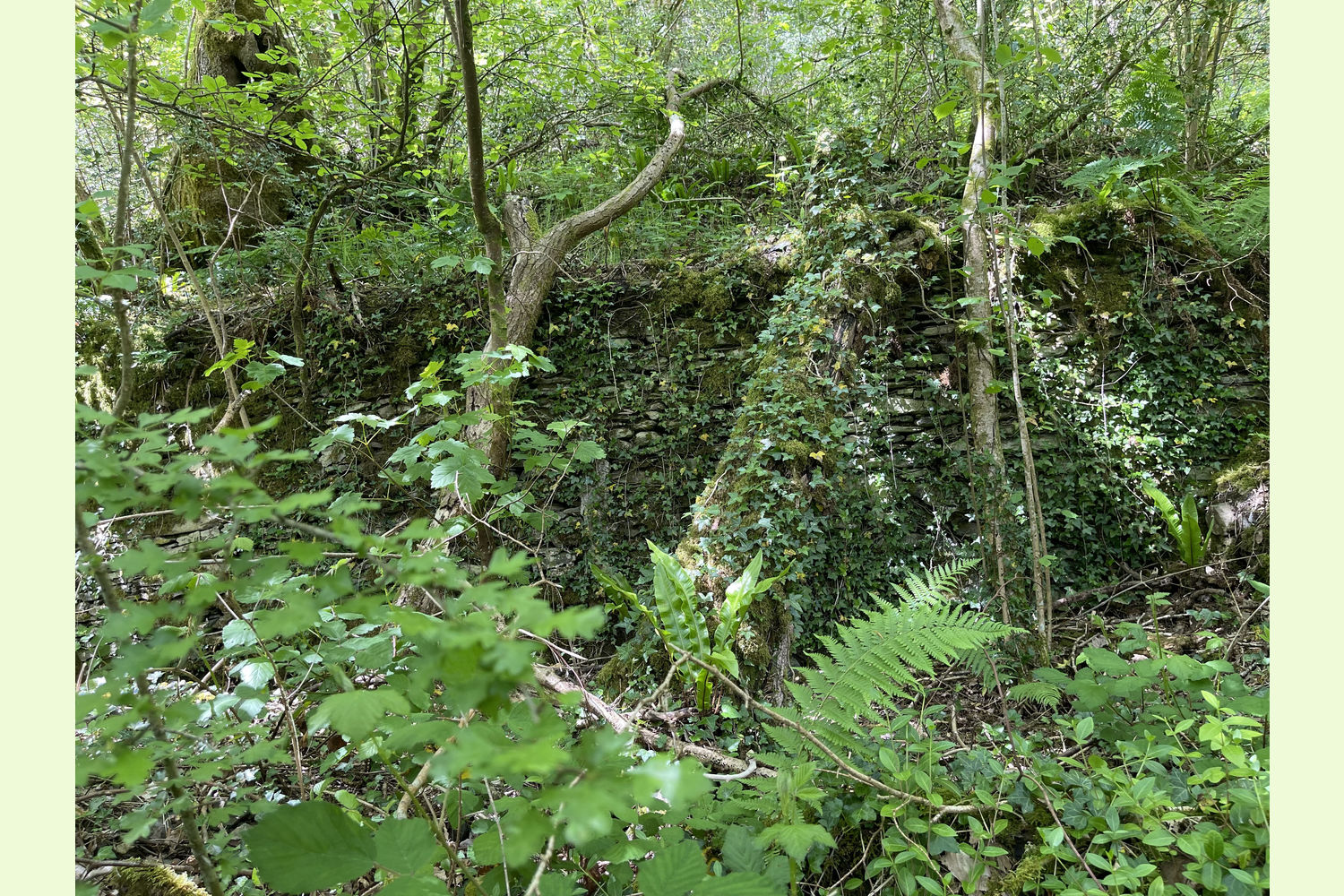
Local area: The area was once a centre for the woollen industry, and the National Wool Museum is just over a mile away. In 1900 there were over 50 working woollen mills in the area, the remains of one of which are still visible (the other side of the Nant Bran) as you walk to the wood. There are many features along the river that used to manage the water supply to those mills.. Drefach-Velindre, three-quarters of a mile away on foot, also has a village stores and post office, and two excellent pubs (The Tafarn John y Gwas and the Red Lion)
Photographs: were taken in May 2024
VIEWING: You are welcome to visit this wood by yourself. Please ensure that you have a copy of these sales details with you: we recommend either printing the details or downloading them to your phone/tablet/laptop before you go. Please take care when viewing as the great outdoors can contain unexpected hazards and woodlands are no exception.
Our Maps (Click on a map to see a large version)
Our Maps
Directions
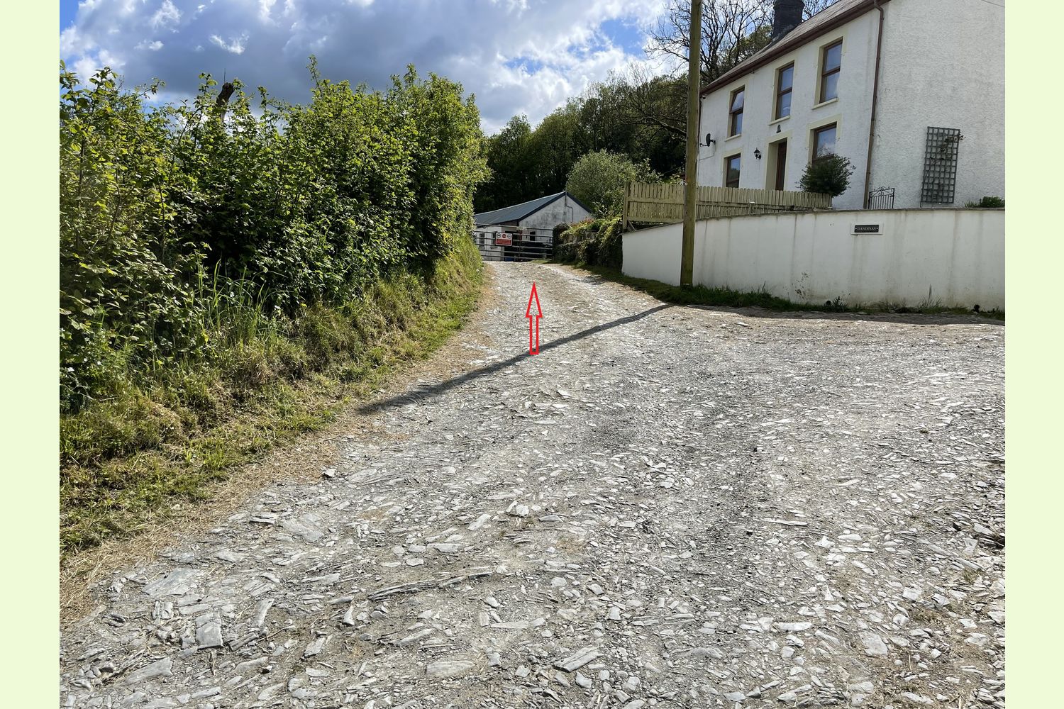
From the A484 at Pentrecagal (halfway between Carmarthen and Cardigan), take the turning signposted Drefach-Velindre. After one mile, go past Moduron Teifi Motors on the left, and 150 yards further on there is a bench and post box at the side of the road on the right, where you can park. The track/public footpath is just after the post box on the right hand side of the road (see photo 15).
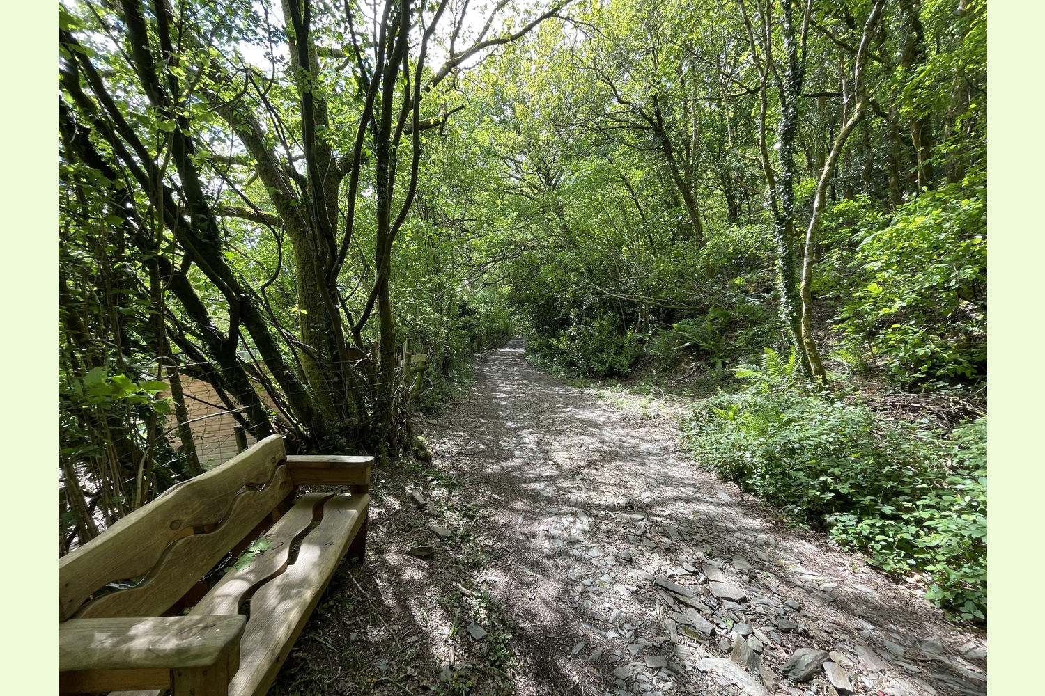
Walk along this path, taking the right fork, then keep left to follow the footpath through the (gated) stable yard (see photo 16). After a further 300 yards, there is a beautiful hand-carved bench on the left side of the path (see photo 17), and just after there is a gateway (most likely open). The gatepost on the right hand side (see photo 18) marks the start of Allt y Dinas.
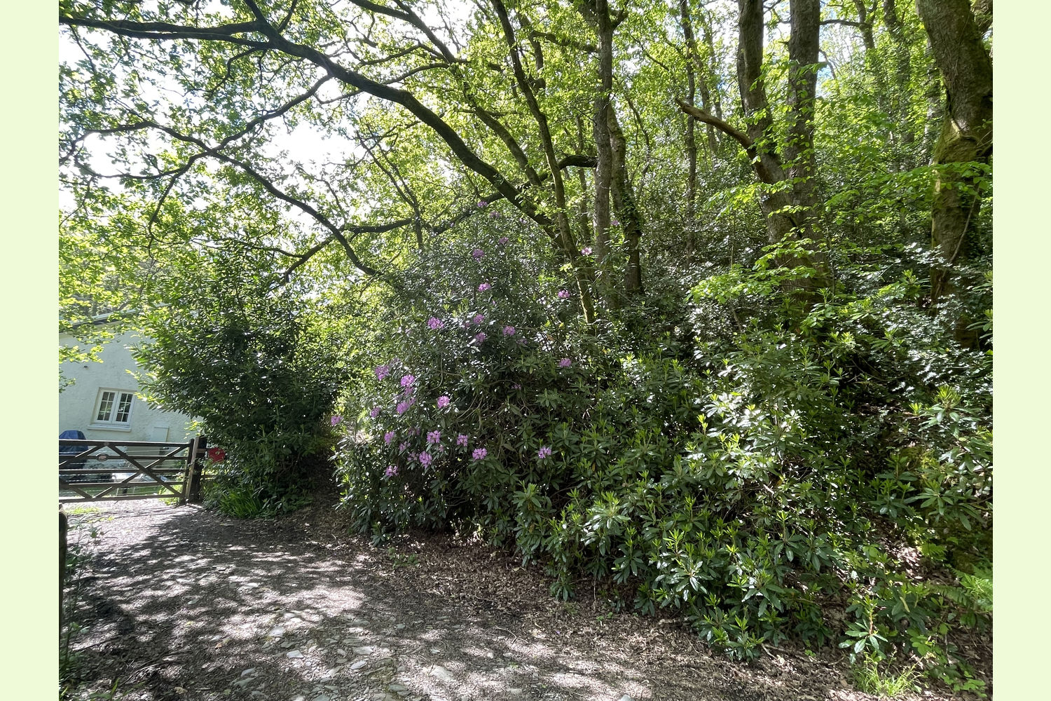
150 yards further on, the track ends at the gateway to a house, but the footpath turns to the right alongside the house. Follow this path to a fork. The left fork leads to the footbridge over the stream that forms some of the western boundary of the wood; the right fork takes you up the hill to the start of the private track that leads through the centre of the wood.
If using SatNav to find the wood:
For the start of the public footpath in Waungilwen
- Postcode: SA44 5YG (halfway between Moduron Teifi Motors and the start of the path)
- Coordinates: 52.02554,-4.40988
- What3Words: clusters.without.broth
For the gateway on the public footpath at the eastern end of the wood:
- Coordinates: 52.02152,-4.41378
- What3Words: envoy.upward.defended
Please note: the particulars with plans, maps, descriptions and measurements are for reference only and although carefully checked we cannot guarantee their accuracy and do not form part of any contract. Any intending purchasers must satisfy themselves by inspection or otherwise as to the correctness of these particulars.
Location maps
View and print this wood's location on Bing Maps »
Interested in this woodland? Get in touch with us:
Contact Sandra Colley on 07769654392 or email us at [email protected] with your details.