Cors Gwyddau - Sold
Details for this wood
Guide price: £56,000 - Freehold
Size: 3¾ acres
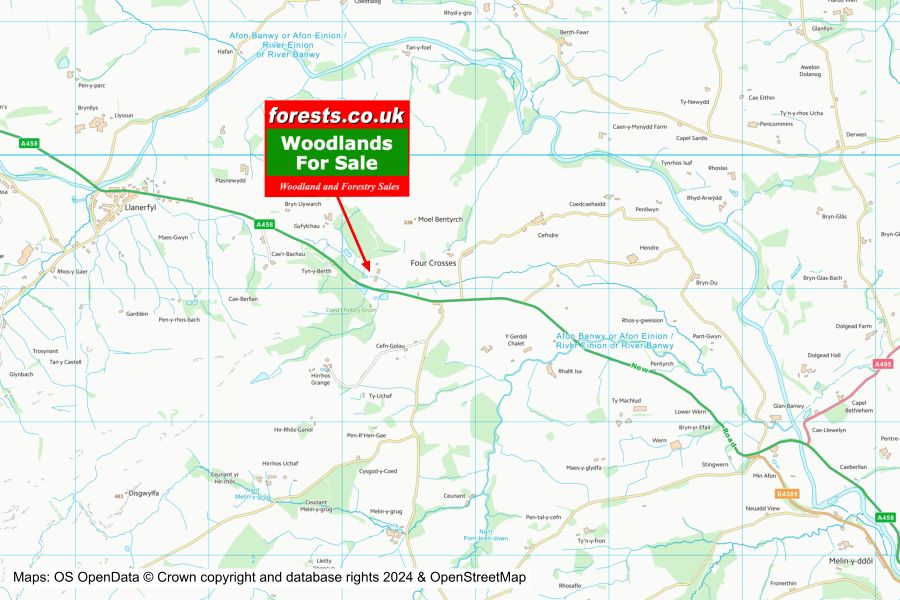
Location: Llanerfyl, Welshpool, Powys
OS Landranger: 216
Grid ref: SJ 052 091
Nearest post code: SY21 0EY
Contact: Sandra Colley
Phone: 07769654392
Email: [email protected]
Email to a friend
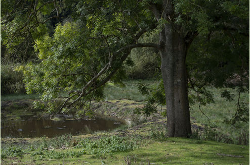
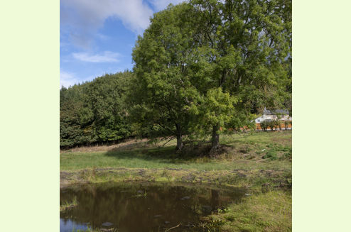
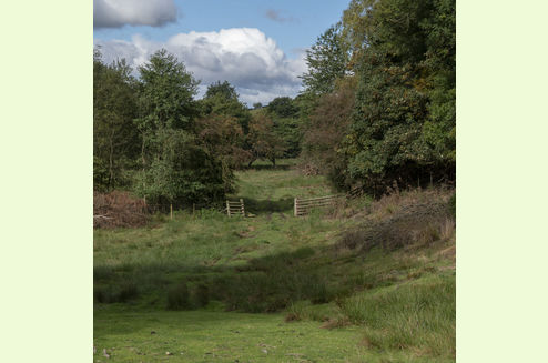
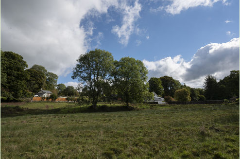
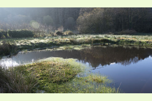
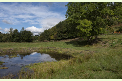
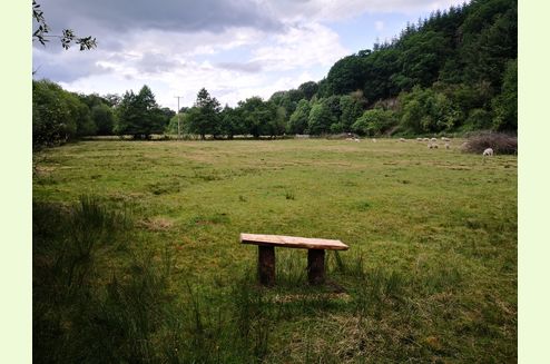
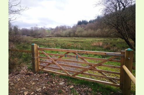
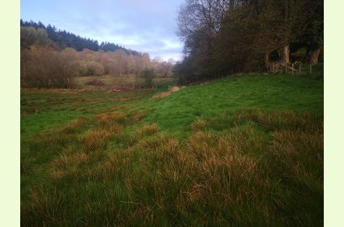
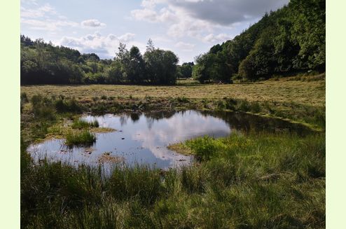
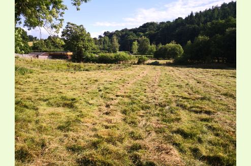
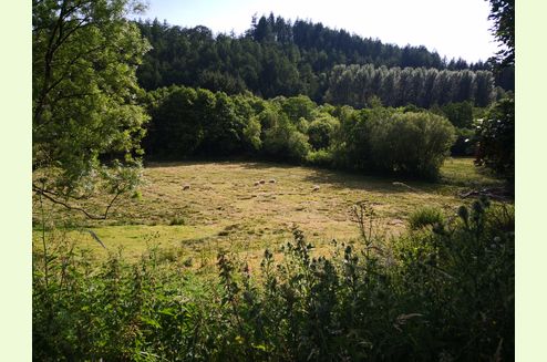
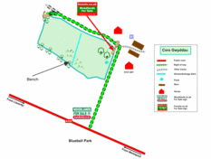
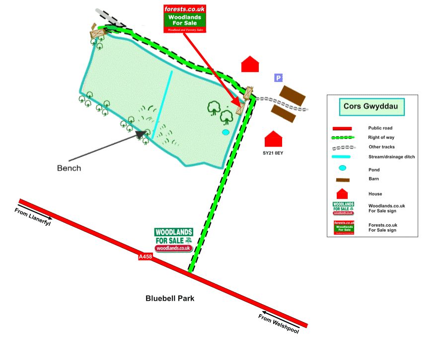
Cors Gwyddau is a meadow separated into two distinct areas. It’s situated at the bottom of the Troed yr Ewig woodland. The western meadow is a large expanse of flat grass land. It’s fringed with borders of willow, beech, oaks and a fence. Running along these borders are water courses. The eastern meadow has a small newly established pond. This field also has two majestic ash trees. The area is easily accessible through the main entrance in the west or a smaller gateway to the main track to Troed yr Ewig.
There are flat areas where a vehicle can be parked through both entrances.
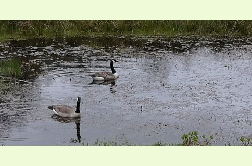
This area is full of nature, and there are resident mallard ducks and Canada geese; in the summer the meadow is home to butterflies, insects and dragonflies.
The lower-lying areas of Cors Gwyddau appear on the Unified Peat Map of Wales. This means there are possibly grants available for restoration.
Access: Cors Gwyddau is accessed along the main track into the woodlands, to the west of the first parking area. Follow this track along and then take the first fork left where you will see two gates, one for Pwll Y Bedol and the left hand one for Cors Gwyddau.
Inside the gate there is a flat area suitable for a vehicle.
The two areas of Cors Gwyddau are accessed along this boundary.
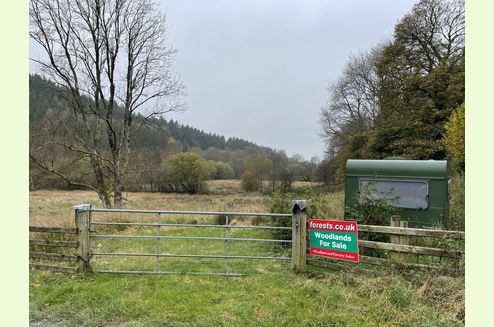
There is a second entrance gate to Cors Gwyddau on the main entrance track off the road (with our For Sale board). This is a locked gate, the key will be available upon purchase. The caravan located here is included in the sale.
Public footpaths: There are no public footpaths or public access of any kind within the meadow, but the access track alongside is a public right of way.
Sporting rights: Included.
Mineral rights: Included, except as excluded by statute.
Wildlife: Red Deer have been seen in the early morning. There are also a few badger dens in the area, some old and some active.
Spring and summer sees numerous butterflies and insects.
The birdlife is diverse, from Canadian Geese nesting on the lake, to large buzzards and kites circling overhead. The woodland and fields are full of life the whole year round.
Though small and recently cleaned out, the pond has some really interesting plants in it: the spring will bring colour. There's also a variety of amphibian life; this guide from the Amphibian and Reptile Trust will be of interest!
Local area: Llanerfyl is a village and community in Montgomeryshire, Powys, Wales. Located near the River Banwy, the community includes the village of Llanerfyl, several farms and wide tracts of marchland.The village contains St Erfyl's church, rebuilt in 1870. It contains the remnants of a 15th-century shrine. The circular churchyard has in it a gravestone from either the 5th or 6th century possibly commemorating Santess (female saint) Gwerfyl.
In the village please pay a visit to the wonderful cafe and village shop - Y Cwpan Pinc.
Nearby is the Cann Office Hotel - Bedrooms, restaurant and take away
Opposite the woodlands is the well maintained Bluebell Park, for camping and fishing.
The area is full of things to do and places to visit, such as Powys Castle and Rhiw Steam Railway.
This area is right on the edge of the Cambrian mountains and isn't too far from Llyn Vyrnwy. The 6000 acre Dyfnant Forest (described by Lonely Planet as being "where a well-signposted maze of forestry tracks culminates in one enormous hill before descending rather spectacularly toward Lake Vyrnwy").
Standing at 335m behind the meadows and woodlands is the hill, Moel Bentyrch. Here you will find the old settlement of Pen y Bwlch (Top of the Pass) a testament to a much older community in this area.
Locally the area is steeped in drover and farming history. Nearby is St Erfyl's church, named after Erfyl, rebuilt in 1870. It contains the remnants of a 15th-century shrine. The circular churchyard has in it a gravestone from either the 5th or 6th century commemorating the death of a young girl, identified locally and possibly the daughter of Saint Padarn and a cousin of Saint Cadfan.
Boundaries: The boundaries are marked in aqua marine on fenceposts around the meadow. The boundaries to the east are to the centre of the water course shared with the neighbouring meadow.
To the north and east the boundary is to the fence line along the track, and along the fence line to the south.
Covenant: in common with the neighbouring woodlands, there is a covenant designed to ensure that all can have quiet and peaceful enjoyment of their woodland.
Photographs: were taken in 2022 and November 2024.
VIEWING: You are welcome to visit this wood by yourself. Please ensure that you have a copy of these sales details with you: we recommend either printing the details or downloading them to your phone/tablet/laptop before you go. Please take care when viewing as the great outdoors can contain unexpected hazards and woodlands are no exception.
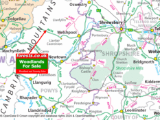
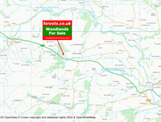
Our Maps
Directions
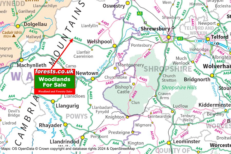
From all directions to the north, east and south: head to Welshpool. Once in Welshpool follow the A458 to Llanfair Caereinion. From Llanfair Caereinion travel west for 4.5 miles along the A458 until you see Bluebell Park - Camping and Fishing.
From the west: take the A458 from Mallwyd towards Welshpool. Continue through Llangadfan, and Llanerfyl, and then continue for one mile until you see Bluebell Park - Camping and Fishing
From all directions: Immediately opposite the turning for the Bluebell Camping and Fishing Park, take the small track which will lead you through a gate and to a parking space by a house. This is the parking space from which to walk and view the property. Please be aware that access to the fields is needed for the farmer, and please do not block parking for the residents of Troed Yr Ewig house.
The parking area by the house:
- Nearest postcode for SatNav SY21 0EY
- Coordinates: 52.67184,-3.40242
- Grid reference: SJ 0526 0914
- What3words: compelled.winds.announce
Please note, there may be sheep grazing in the area. Please keep dogs on leads at all times and keep all gates shut.
Please note: the particulars with plans, maps, descriptions and measurements are for reference only and although carefully checked we cannot guarantee their accuracy and do not form part of any contract. Any intending purchasers must satisfy themselves by inspection or otherwise as to the correctness of these particulars.


