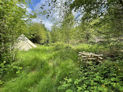
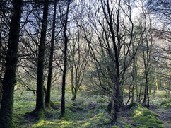
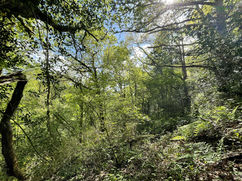
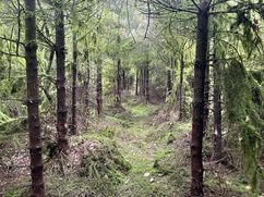
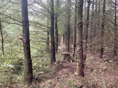
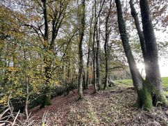
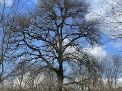
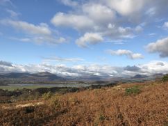
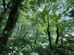
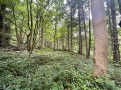
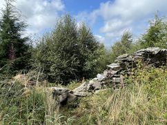
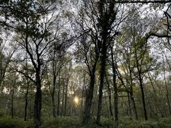
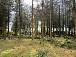
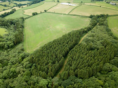
Woodlands for Sale in Wales and the Welsh Marches
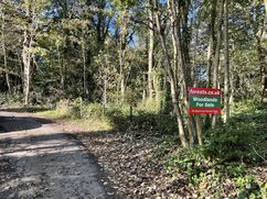
You are welcome to visit our woodlands with our sales details. For more information and all enquiries contact Sandra Colley:
- Phone: 07769654392
- Email: sandra@forests.co.uk
Email updates
We send out an email update whenever we advertise a new woodland or forest for sale.
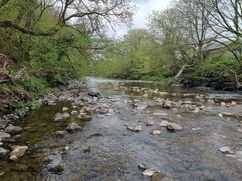
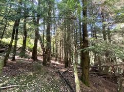
Coed Glannant, Ystradgynlais over 9 acres | £85,000 Freehold
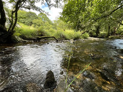
Coed Glannant is a wood for the more adventurous, but also presents a unique opportunity! The rocky outcrops and boulders, deep ravines, long river frontage and wonderful mature broadleaf trees…
Preswylfa Dingle Almost 4½ acres | £35,000 Freehold
* * * UNDER OFFER * * *
Description: The Dingle is a long strip of broadleaf woodland, situated between a residential area to the south and open farmland to…
Cae Canol, Powys 4 acres | £55,000 Freehold
* * * UNDER OFFER * * *
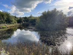
Cae Canol (translated as middle field) is a totally enclosed private meadow. It is gently sloping down to a pool…
Coed Cilgwyn Almost 5¼ acres | £55,000 Freehold
Description: Coed Cilgwyn is a very private and secluded woodland situated on the side of a valley two miles from the village of Berriew, on the beautiful Montgomery…
Coed Ffawydd (Beech Wood) Over 3 acres | £45,000 Freehold
* * * SOLD SUBJECT TO CONTRACT * * *
Description: Coed Ffawydd is a level to gently sloping mixed woodland in a quiet part of the Carmarthenshire countryside. Access…
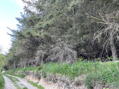
Cubbage Wood, Shropshire 3⅓ acres | £45,000 Freehold
* * * SOLD SUBJECT TO CONTRACT * * *
Cubbage Wood is a primarily mixed conifer woodland, with a small quantity of beech and other broadleaf trees, in…
Stoneyford Wood, Pembrokeshire 5 acres | £49,000 Freehold
* * * PRICE REDUCED TO £49,000 * * *
Description: The wood is mixed conifer and broadleaf, but almost all of it is designated as Ancient Woodland. Much…
Coed Cwch Gwenyn, Pembrokeshire Almost 3 acres | £37,500 Freehold
* * * SOLD SUBJECT TO CONTRACT * * *
Coed Cwch Gwenyn or Beehive Wood is located in beautiful Pembrokeshire landscape and is part of a larger woodland,…
Banc yr Helyg, nr Bridgend Over 4 acres | £56,000 Freehold
Banc yr Helyg is a mixed woodland of both conifers and broadleaf trees, part of a larger woodland known as Gelli Feddgaer. It is located on the edge of Mynydd…
Coed Caer nr Bridgend 6 acres | £69,000 Freehold
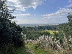
Coed Caer stands high on Mynydd y Gaer with wonderful views out over rolling countryside.
The woodland is a peaceful place, mainly conifer, larch and spruce amongst other species planted…
Coed Heulwen, Ceredigion Just over 8 acres | £79,000 Freehold
Set high in a stunning location, Coed Heulwen offers much potential. It's northern section has been replanted with a variety of conifer, predominantly Douglas fir, following the clear fell of…
Tan y Graig Wood 6¼ acres | £69,500 Freehold
Description: Tan y Graig Wood is in a quiet valley a few miles from Denbigh. The wood is almost entirely Sitka Spruce, with a few broadleaf trees around the boundaries,…

Whitford Wood, Downing, Flintshire 7 acres | £99,000 Freehold
Description: A beautiful mixed woodland, part of the Downing woods, with an interesting history. Sycamore is dominant, but there also with many other tree species scattered here and there including,…
Wern-y-Wig, Pembrokeshire 15 acres | £110,000 Freehold
Wern-y-Wig is a wonderful nature reserve in the making, and will reward the continued support of a new owner. Parts of the wood are quite wet, especially in the winter,…
Bryn Euryn, Conwy 10¾ acres | £100,000 Freehold
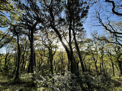
Description: The woodland at Bryn Euryn is a beautiful, primarily broadleaf, woodland, designated as Ancient Semi-Natural woodland, meaning it has continuously been under tree cover for at least 400 years. …
Roundbank Wood - Telford Just over 5 acres | £75,000 Freehold
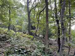
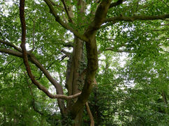
Description: Roundbank Wood is a very mature broadleaf woodland with many veteran oak trees that really give the feeling that it is an ancient woodland. One tree in particular that…
Dinedor wood Almost 4 acres | £50,000 Freehold
Description: Small and manageable broadleaf woodlands like this rarely come to market in Herefordshire, so this is a great opportunity to secure a small woodland. This is a beautiful uneven-aged…

Troed Rhiw Groes, Carmarthenshire Just over 3 acres | £35,000 Freehold
Description: Troed Rhiw Groes is a mostly young broadleaf woodland on the side of an east-facing slope, overlooking the hills of Brechfa Forest. The wood had previously been planted with…
Coed Gwion - Ceredigion 6⅓ acres | £75,000 Freehold
Coed Gwion is predominantly planted with mixed conifer including Douglas fir, larch, some spruce as well as one or two Western hemlock and one or two Cyprus. Interspersed is a…
Coed Ger-y-Llyn - Ceredigion 10 acres | £93,000 Freehold
***PRICE NOW REDUCED TO £93,000***
Description: Coed Ger-y-Llyn is a mixed wood, part of the larger Mynydd Brith woodland. It was a largely spruce plantation, part of which was…
Allt y Dinas 4 acres | £45,000 Freehold
Description: Allt y Dinas (or Allt y Ddinas) is a broadleaf woodland, mainly oak, ash, and holly, but with plenty of other species as well, running along the Dinas…
Nantbele Wood - Lot 2 Almost 5¾ acres | £69,000 Freehold
Nantbele woodland is a primarily conifer woodland, and unusually, for woods in Wales, it is completely flat! It is set well back from the nearest roads, so is quiet and…
Nantbele Wood - Lot 1 Nearly 5½ acres | £67,000 Freehold
Nantbele woodland is a primarily conifer woodland, and unusually, for woods in Wales, it is completely flat! It is set well back from the nearest roads, so is quiet and…
Allt Tanerdy, Carmarthenshire 4⅔ acres | £48,000 Freehold
Description: Allt Tanerdy is a mixed broadleaf woodland, including oak, ash, beech, birch, and areas with a large quantity of young holly. From the north-eastern boundary there is a view…
Coed Derw Dau (Two Oak Wood) - Sold 3½ acres | £65,000 Freehold
Description: Coed Derw Dau has interesting potential as woodland, forest garden, and maybe One Planet Development (OPD). Big Wood, the larger woodland of which it is a part, is…
Coed Soar, Gwynedd - Sold Almost 4 acres | £45,000 Freehold
Coed Soar, part of Coed Maes y Neuadd, has some of the finest views of Snowdonia you will ever see. As the site of a former conifer plantation part of…
Ty Nant woodland, Denbighshire - Sold 3¼ acres | £55,000 Freehold
Description: This beautiful woodland has a little of everything: broadleaf woodland, field, woodland clearings, bluebell covered slopes in the spring, and a fast flowing shallow river as its boundary. Ty…
Windflower Coppice, Monmouthshire - Sold Over 4½ acre | £85,000 Freehold
Windflower Coppice is tucked away in the very midst of the larger woodland known as Big Wood. Sheltered on all sides by mature woodland and on level ground throughout this…
Cors Gwyddau - Sold 3¾ acres | £56,000 Freehold
Cors Gwyddau is a meadow separated into two distinct areas. It’s situated at the bottom of the Troed yr Ewig woodland. The western meadow is a large expanse of flat…
Strethill Wood - Sold 1¾ acres for sale | £36,000 Freehold
Strethill Wood is a mature broadleaf woodland that is a sufficient size to be very manageable and has two distinctive areas. One is the very secluded broadleaf area that has…
Pant y Goitre Wood - Sold Over 7½ acres | £98,000 Freehold
Pant y Goitre woodland is a wonderfully diverse and beautiful woodland, some of it Ancient Woodland, in the Usk valley, a short distance from Abergavenny.
The woodland is a patchwork…
Dan-y-Goilan - Lot 2 - Sold 2¼ acres | £20,000 Freehold
Description: Lot 2 is a small block of land extending to just over two acres. It is unusual for small pieces of land to come onto the market, which makes…
Dan-y-Goilan - Lot 1 - Sold ½ acre | £9,000 Freehold
Description: Lot 1 is a small block of land extending to just half an acre. It is very rare for such small pieces of land to come onto the market,…
Black Tom Wood - Sold 5 acres | £75,000 Freehold
Black Tom, otherwise known as Sir Thomas Fairfax was Lord-General of Cromwell's New Model Army and a leading light of the Parliamentarian cause during the English Civil…
Coed Maedoc - Sold Over 2½ acres | £40,000 Freehold
Description: Coed Maedoc is a compact broadleaf woodland with a couple of small streams adding to the attractiveness. It is named for St Aidan to whom the small ancient …
Coed Dinnant, Powys - Sold Just over 5 acres | £54,950 Freehold
Description: Coed Dinnant is a mixed woodland, located in a very quiet area, a good distance from the nearest road. The entrance to Coed Dinnant is marked by a rustic…
Coed Faner. Gwynedd - Sold Almost 6 acres | £68,000 Freehold
Description: Coed Faner is a mostly young regenerating broadleaf woodland, private and secluded, and with truly outstanding views across the estuary to Portmeirion, Porthmadog, and to Harlech Castle and Yr…
Grace Wood, Shropshire - Sold About 6¾ acres | £99,000 Freehold
Description: Grace Wood is a broadleaf woodland with great biodiversity. There are many native tree species here, as well as a great diversity of wildlife and plants. Grace Wood is…
Gwar Gors, Ceredigion - Sold 7¾ acres | £55,000 Freehold
Description: Gwar Gors is a conifer woodland comprising of Spruce, interspersed with a good number of native Larch trees, especially in an area to the west of the track. There…
Coed Ffynonwen - Sold 22½ acres | £210,000 Freehold
Short video of the wood.
Coed Ffynonwen in Carmarthenshire is a large, fairly level, woodland with excellent access directly off a minor country lane. The wood is…
Coed y Cwm, Pontypridd - Sold 4½ acres | £60,000 Freehold
Description: Coed y Cwm, also known as Bluebell Wood, is a mature broadleaf woodland and offers good habitat for woodland generalist and specialist birds, badgers (although no setts have been…
Coed y Neuadd, Gwynedd - Sold 3¾ acres | £45,000 Freehold
Description: As the site of a former conifer plantation part of this woodland has seen over 10 years of natural regeneration. This woodland does, however, require some restocking of trees…
Coed Spwdwr, Carmarthenshire - Sold Over 9 acres | £55,000 Freehold
This is a great opportunity to purchase a good sized acreage of mixed woodland with a good presence of mature oak and Scots pine in a very accessible location,…
Gelli Glyd Wood - Sold About 0.9 acres | £17,000 Freehold
Description: Gelli Glyd woodland is a self-contained flat broadleaf woodland, mostly surrounded by open farmland. Small parcels of woodland are very rarely offered for sale, so this represents an ideal…
Can't find the right woodland for you?
- Subscribe to email updates to find out when we have new woodlands in this region.
- Find more woods for sale in North Wales and West and South Wales on Woodands.co.uk.